Live cameras in Libertyville, United States
200 cameras: 0 live video, 200 still images · 200 working now · updated Oct 8, 03:32 UTC
Libertyville has 200 live cameras on LiveLocation right now: 0 live video, 200 still images. Good places to start: IL 21 at Valley Park, looking south, IL 21 at Hollister, looking north, US 45 at Casey, looking north. Local time is 10:32 PM (America/Chicago). Today the sun rises at 6:55 AM and sets at 6:23 PM.
Libertyville live cameras
Every Libertyville live camera we know of: 0 live video, 200 still images. 200 of them were live or fresh at the last check. Libertyville is home to about 20,000 people.
Weather now in Libertyville: 58 °F (15 °C), mostly clear, wind 9 mph (14 km/h) from the west. Forecast for 11 PM local time. Weather: MET Norway (CC BY 4.0)
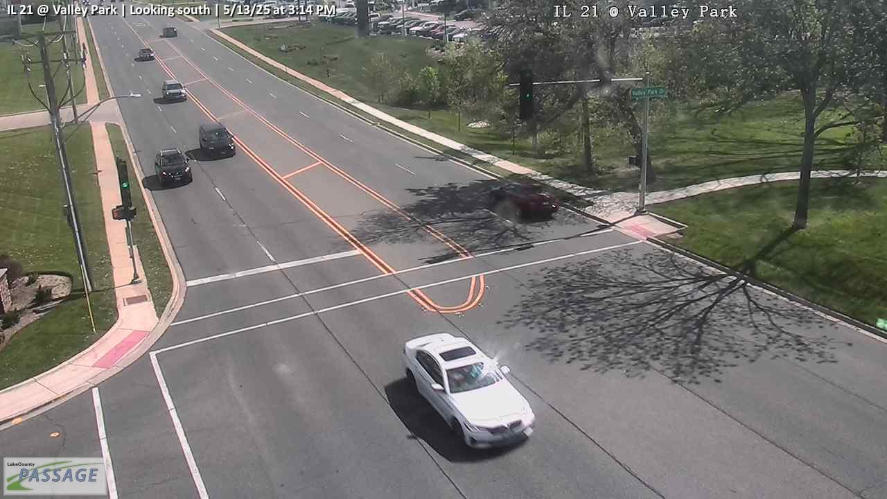 WorkingStill imageIL 21 at Valley Park, looking south
 WorkingStill imageIL 21 at Hollister, looking north
 WorkingStill imageUS 45 at Casey, looking north
 WorkingStill imageUS 45 at IL 83, looking north
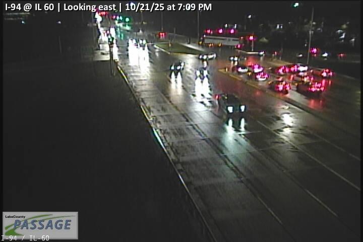 WorkingStill imageI-94 at IL 60, looking east
_cctv_East_Leg.jpg) WorkingStill imageIL 120 at Hunt Club (Wireless), looking east
WorkingStill imageIL 120 at Hunt Club (Wireless), looking east_cctv_South_Leg.jpg) WorkingStill imageUS 45 at IL 120 (SW), looking south
WorkingStill imageUS 45 at IL 120 (SW), looking south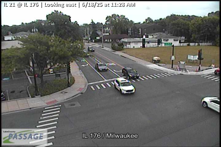 WorkingStill imageIL 21 at IL 176, looking east
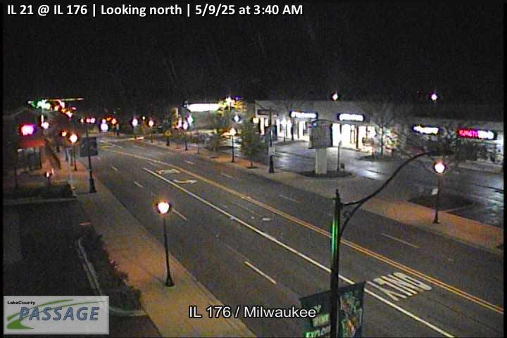 WorkingStill imageIL 21 at IL 176, looking north
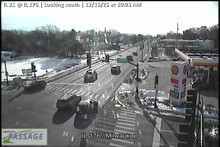 WorkingStill imageIL 21 at IL 176, looking south
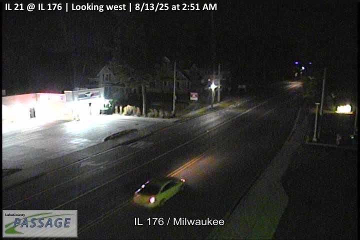 WorkingStill imageIL 21 at IL 176, looking west
 WorkingStill imageIL 21 at Valley Park, looking north
 WorkingStill imageIL 21 at Winchester, looking east
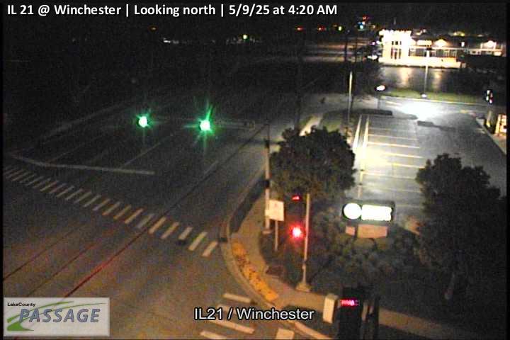 WorkingStill imageIL 21 at Winchester, looking north
 WorkingStill imageIL 21 at Winchester, looking south
 WorkingStill imageIL 21 at Winchester, looking west
 WorkingStill imageIL 176 at Butterfield, looking east
 WorkingStill imageIL 176 at Butterfield, looking north
 WorkingStill imageIL 176 at Butterfield, looking south
 WorkingStill imageIL 176 at Butterfield, looking west
 WorkingStill imageSkyWarn Tower, looking east
 WorkingStill imageSkyWarn Tower, looking north
 WorkingStill imageSkyWarn Tower, looking south
 WorkingStill imageSkyWarn Tower, looking west
 WorkingStill imageButterfield at Crane, looking north
 WorkingStill imageButterfield at Crane, looking south
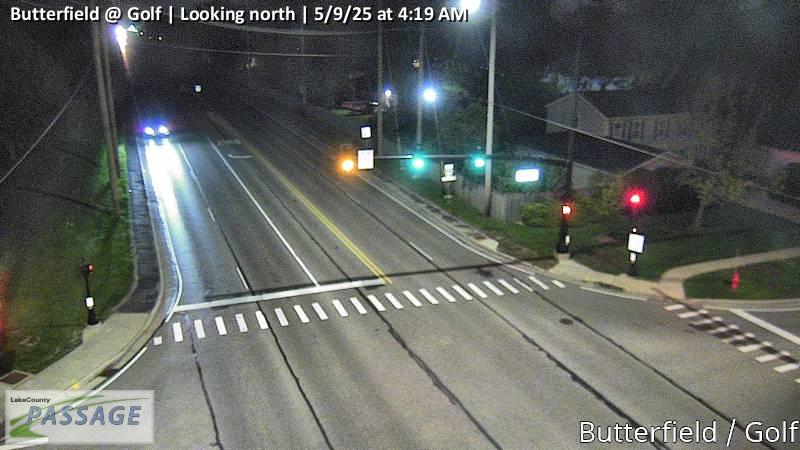 WorkingStill imageButterfield at Golf, looking north
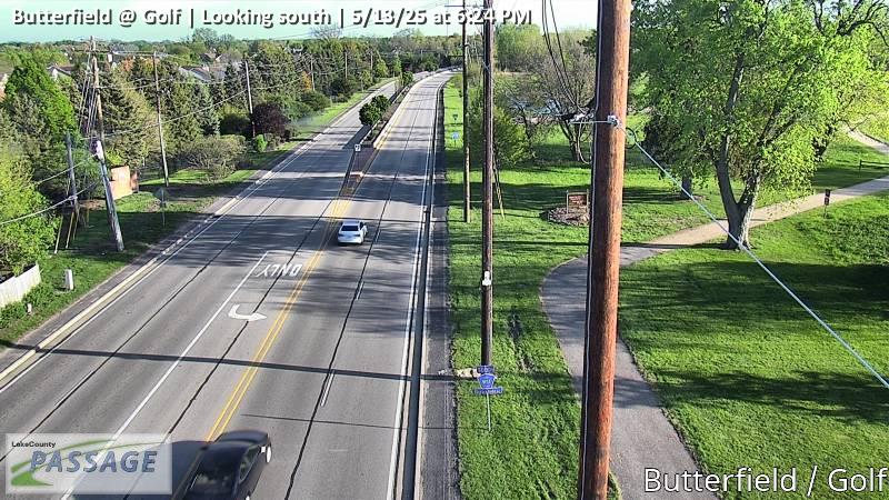 WorkingStill imageButterfield at Golf, looking south
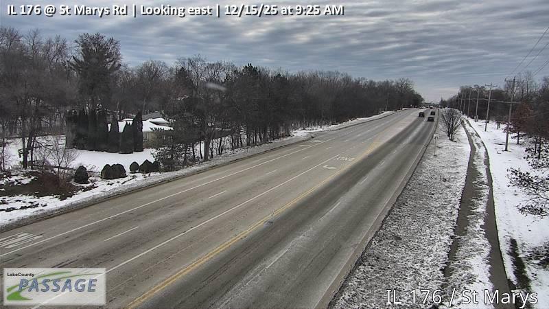 WorkingStill imageIL 176 at St Marys Rd, looking east
 WorkingStill imageIL 176 at St Marys Rd, looking north
 WorkingStill imageIL 176 at St Marys Rd, looking south
 WorkingStill imageIL 176 at St Marys Rd, looking west
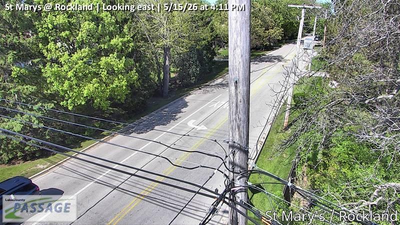 WorkingStill imageSt Marys at Rockland, looking east
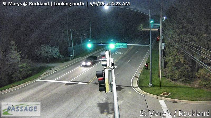 WorkingStill imageSt Marys at Rockland, looking north
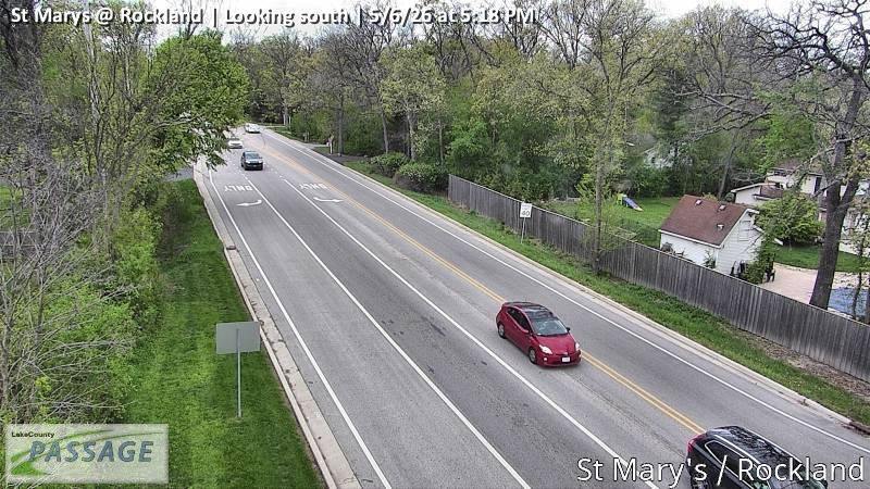 WorkingStill imageSt Marys at Rockland, looking south
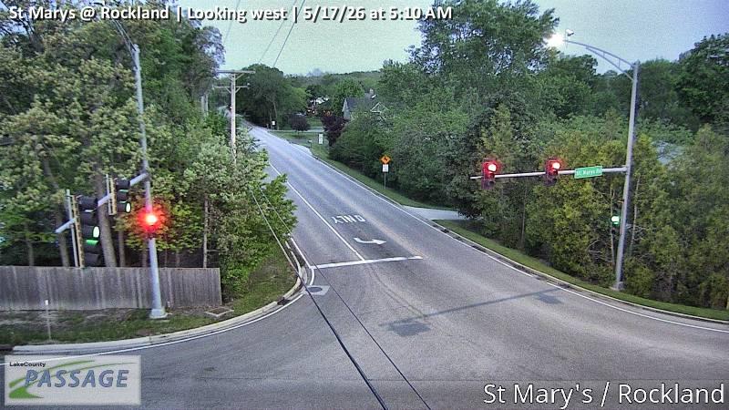 WorkingStill imageSt Marys at Rockland, looking west
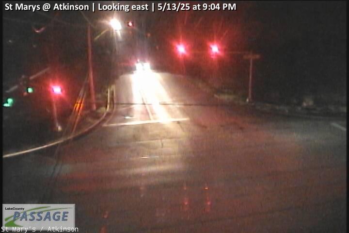 WorkingStill imageSt Marys at Atkinson, looking east
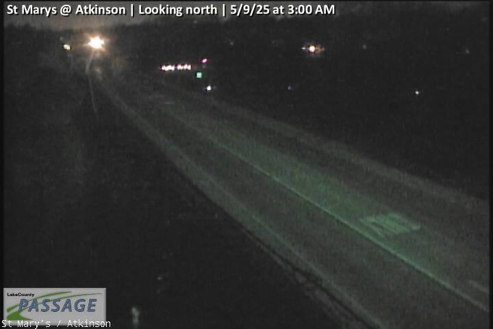 WorkingStill imageSt Marys at Atkinson, looking north
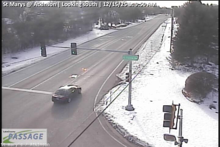 WorkingStill imageSt Marys at Atkinson, looking south
_cctv_East_Leg.jpg) WorkingStill imageIL 21 at IL 137 (NW), looking east
WorkingStill imageIL 21 at IL 137 (NW), looking east_cctv_North_Leg.jpg) WorkingStill imageIL 21 at IL 137 (NW), looking north
WorkingStill imageIL 21 at IL 137 (NW), looking north_cctv_South_Leg.jpg) WorkingStill imageIL 21 at IL 137 (NW), looking south
WorkingStill imageIL 21 at IL 137 (NW), looking south_cctv_West_Leg.jpg) WorkingStill imageIL 21 at IL 137 (NW), looking west
WorkingStill imageIL 21 at IL 137 (NW), looking west_cctv_East_Leg.jpg) WorkingStill imageIL 21 at IL 137 (SW), looking east
WorkingStill imageIL 21 at IL 137 (SW), looking east_cctv_North_Leg.jpg) WorkingStill imageIL 21 at IL 137 (SW), looking north
WorkingStill imageIL 21 at IL 137 (SW), looking north_cctv_South_Leg.jpg) WorkingStill imageIL 21 at IL 137 (SW), looking south
WorkingStill imageIL 21 at IL 137 (SW), looking south_cctv_West_Leg.jpg) WorkingStill imageIL 21 at IL 137 (SW), looking west
WorkingStill imageIL 21 at IL 137 (SW), looking west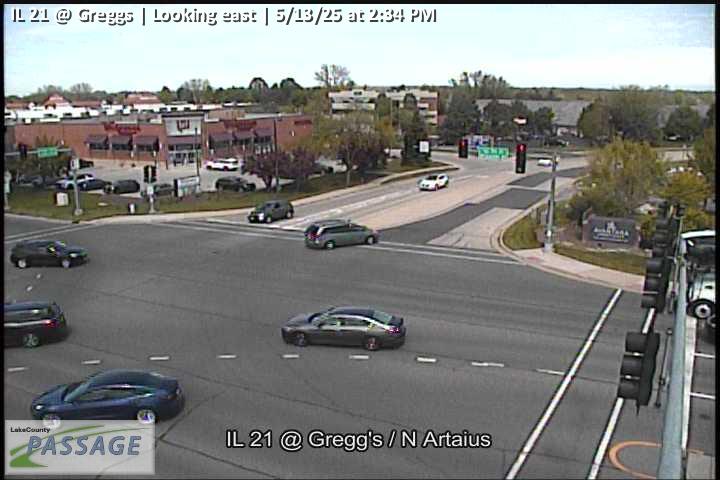 WorkingStill imageIL 21 at Greggs, looking east
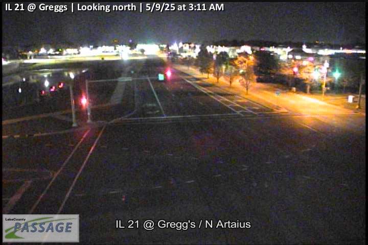 WorkingStill imageIL 21 at Greggs, looking north
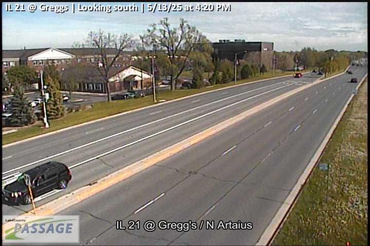 WorkingStill imageIL 21 at Greggs, looking south
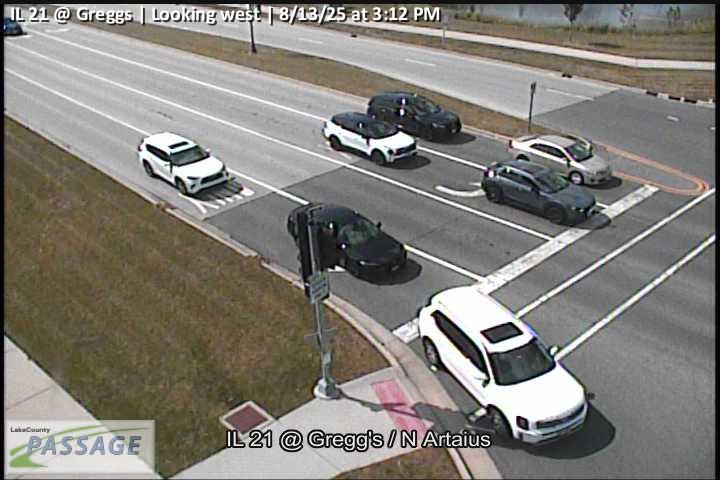 WorkingStill imageIL 21 at Greggs, looking west
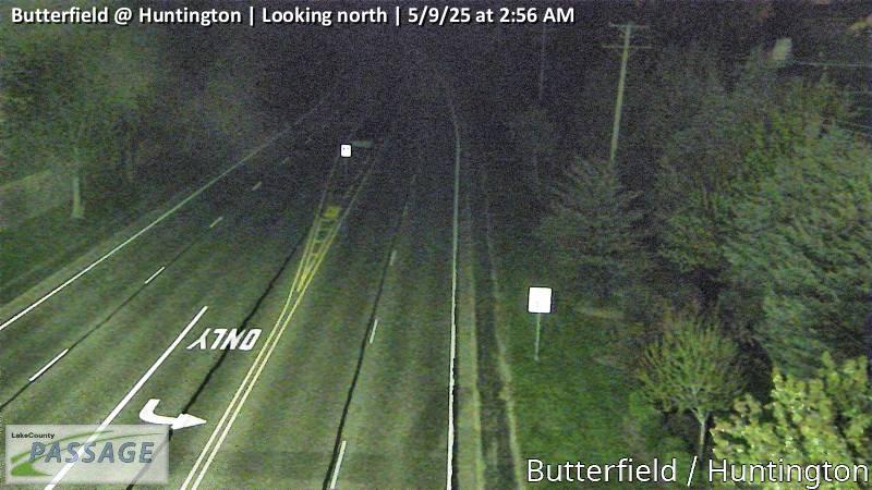 WorkingStill imageButterfield at Huntington, looking north
 WorkingStill imageButterfield at Huntington, looking south
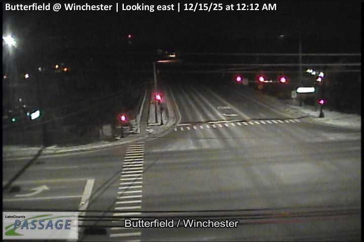 WorkingStill imageButterfield at Winchester, looking east
 WorkingStill imageButterfield at Winchester, looking north
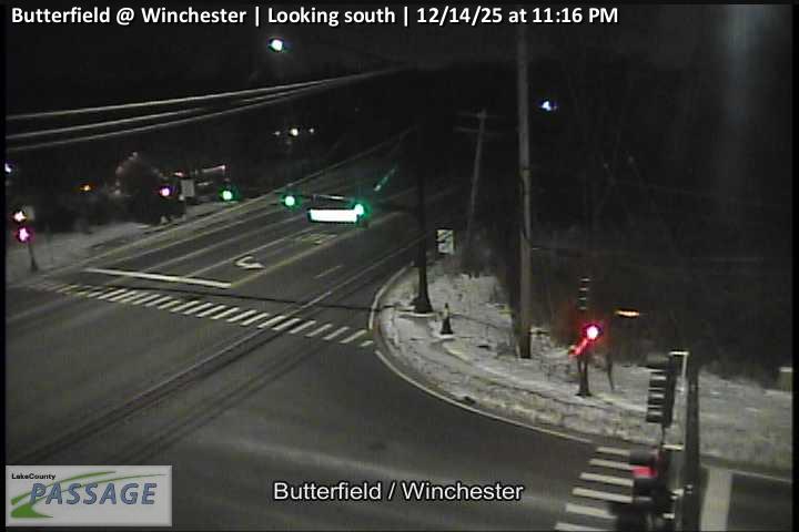 WorkingStill imageButterfield at Winchester, looking south
 WorkingStill imageButterfield at Winchester, looking west
 WorkingStill imageIL 21 at S. Artaius, looking north
 WorkingStill imageIL 21 at S. Artaius, looking south
 WorkingStill imageButterfield at Virginia, looking north
 WorkingStill imageButterfield at Virginia, looking south
 WorkingStill imageIL 21 at Hollister, looking south
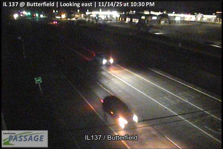 WorkingStill imageIL 137 at Butterfield, looking east
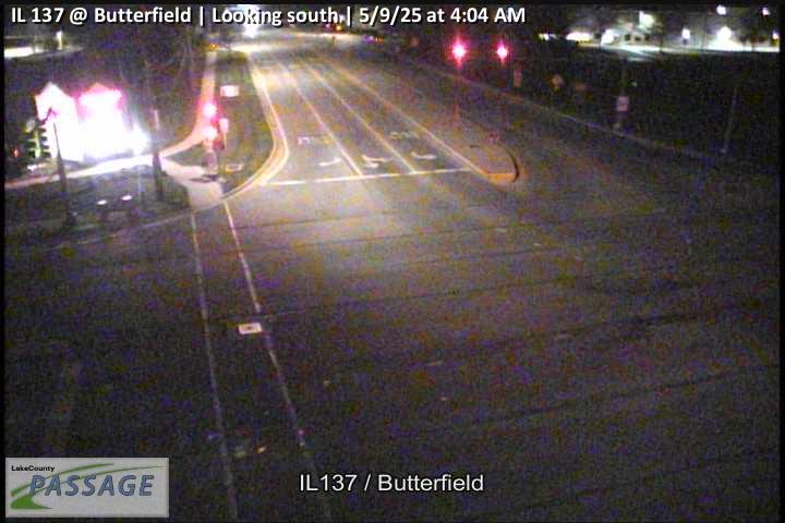 WorkingStill imageIL 137 at Butterfield, looking south
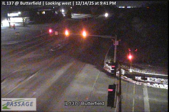 WorkingStill imageIL 137 at Butterfield, looking west
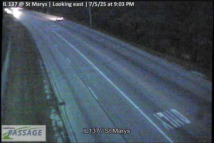 WorkingStill imageIL 137 at St Marys, looking east
 WorkingStill imageIL 137 at St Marys, looking south
 WorkingStill imageIL 137 at St Marys, looking west
 WorkingStill imageButterfield at Allanson, looking east
 WorkingStill imageButterfield at Allanson, looking north
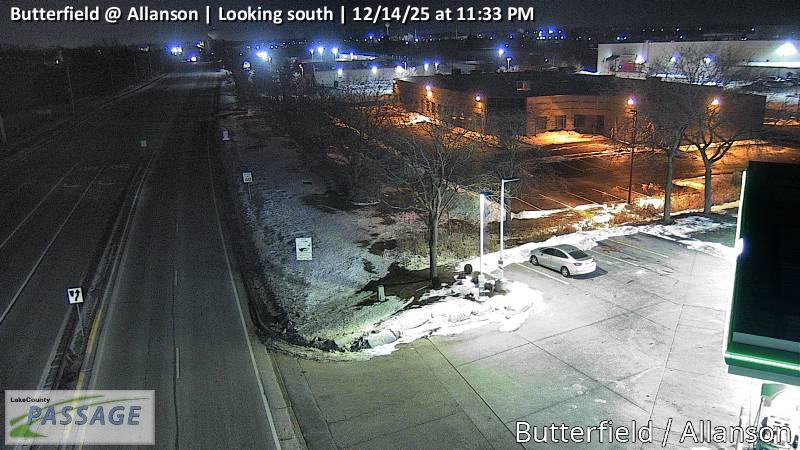 WorkingStill imageButterfield at Allanson, looking south
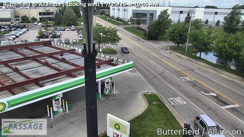 WorkingStill imageButterfield at Allanson, looking west
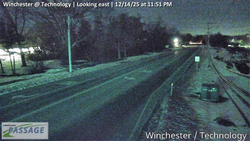 WorkingStill imageWinchester at Technology, looking east
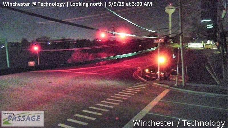 WorkingStill imageWinchester at Technology, looking north
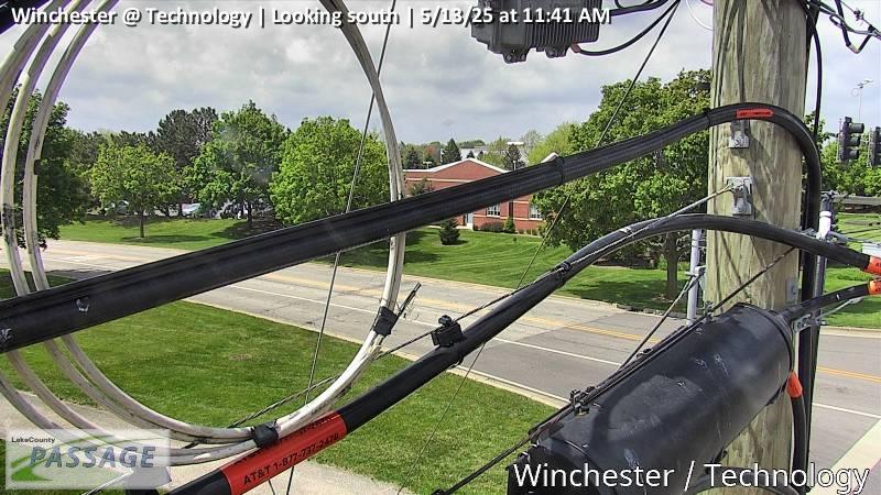 WorkingStill imageWinchester at Technology, looking south
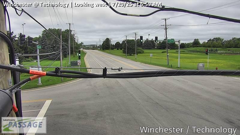 WorkingStill imageWinchester at Technology, looking west
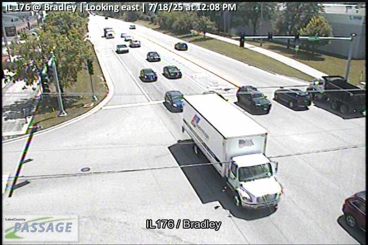 WorkingStill imageIL 176 at Bradley, looking east
 WorkingStill imageIL 176 at Bradley, looking south
 WorkingStill imageIL 176 at Bradley, looking west
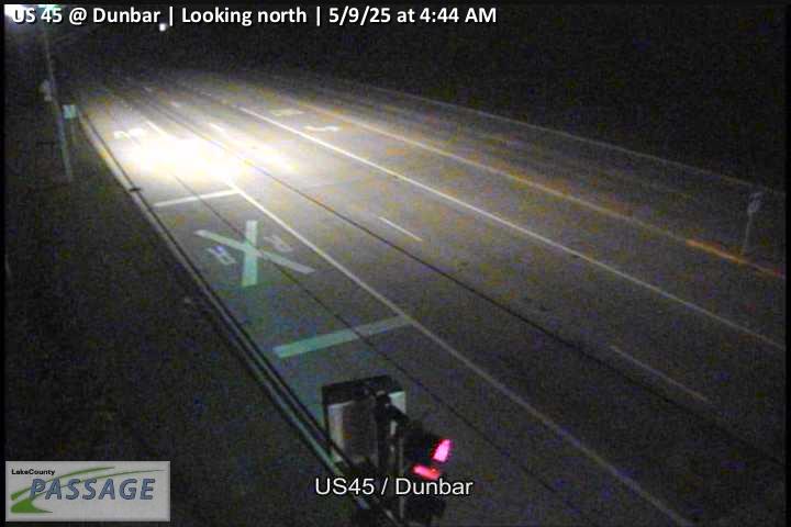 WorkingStill imageUS 45 at Dunbar, looking north
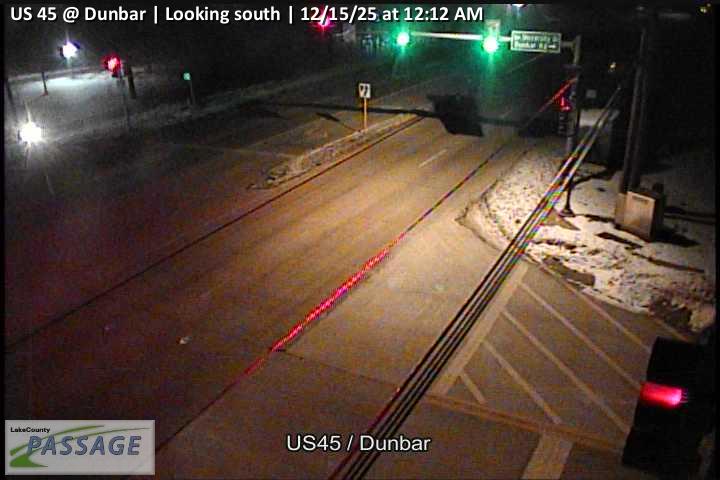 WorkingStill imageUS 45 at Dunbar, looking south
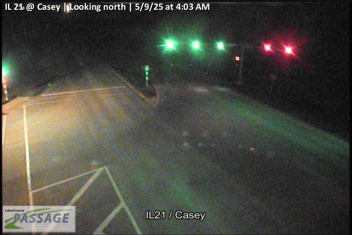 WorkingStill imageIL 21 at Casey, looking north
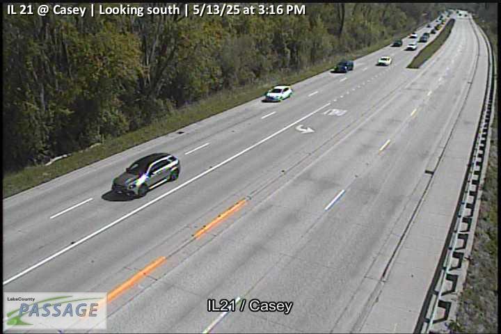 WorkingStill imageIL 21 at Casey, looking south
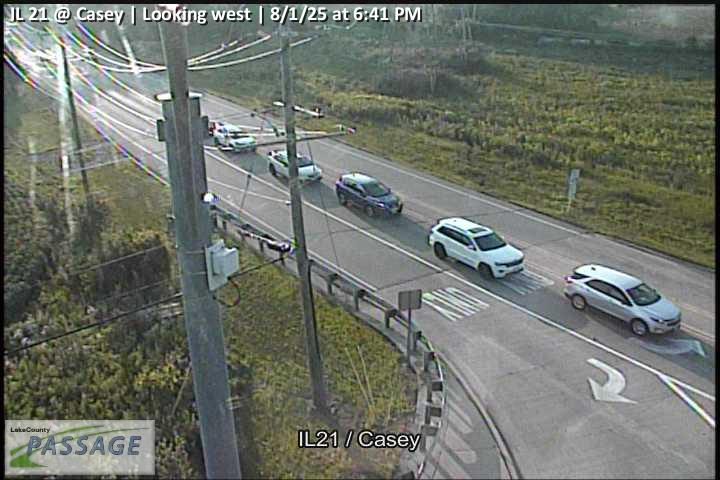 WorkingStill imageIL 21 at Casey, looking west
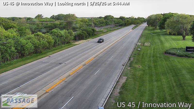 WorkingStill imageUS 45 at Innovation Way, looking north
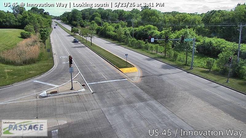 WorkingStill imageUS 45 at Innovation Way, looking south
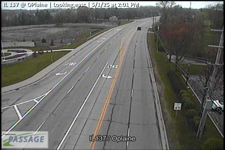 WorkingStill imageIL 137 at OPlaine, looking east
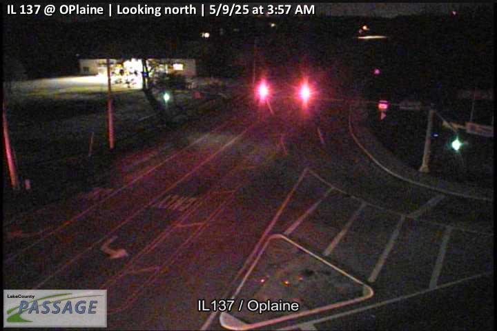 WorkingStill imageIL 137 at OPlaine, looking north
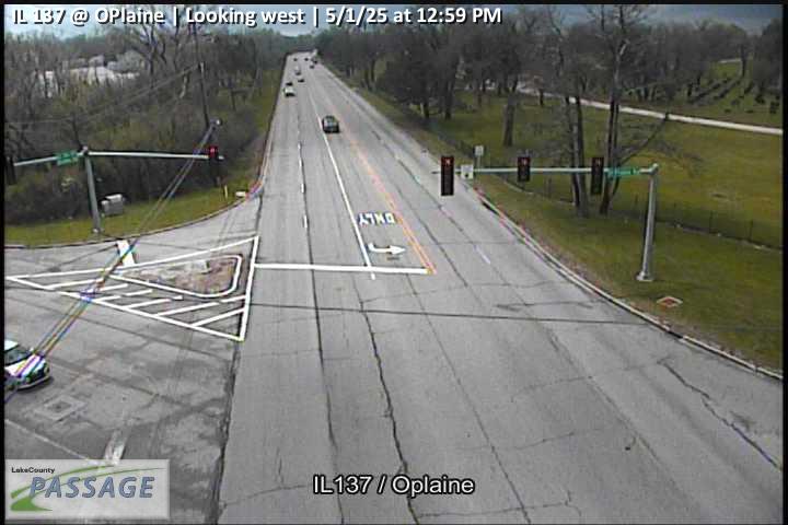 WorkingStill imageIL 137 at OPlaine, looking west
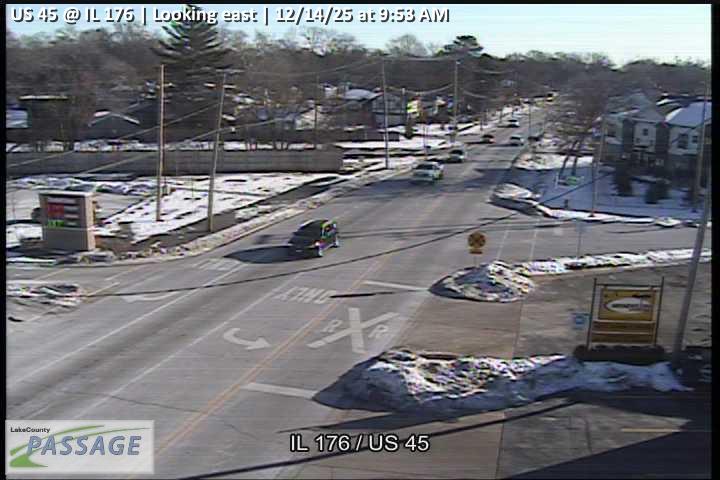 WorkingStill imageUS 45 at IL 176, looking east
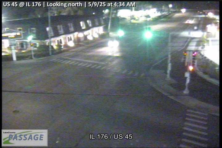 WorkingStill imageUS 45 at IL 176, looking north
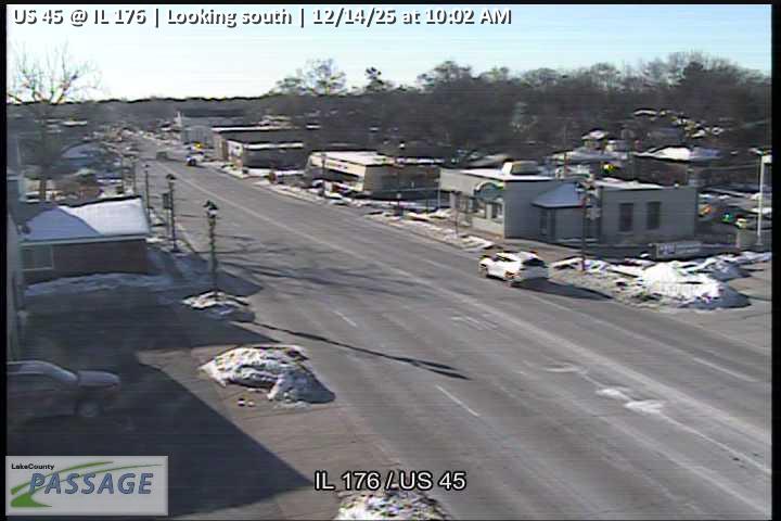 WorkingStill imageUS 45 at IL 176, looking south
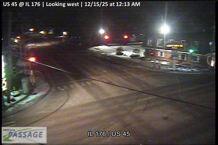 WorkingStill imageUS 45 at IL 176, looking west
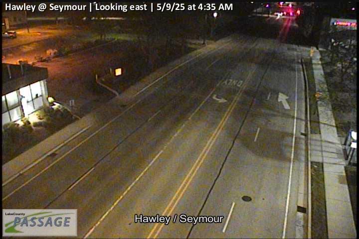 WorkingStill imageHawley at Seymour, looking east
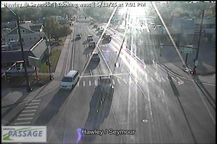 WorkingStill imageHawley at Seymour, looking west
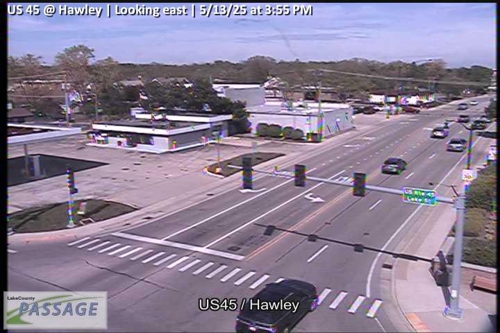 WorkingStill imageUS 45 at Hawley, looking east
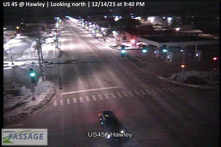 WorkingStill imageUS 45 at Hawley, looking north
 WorkingStill imageUS 45 at Hawley, looking south
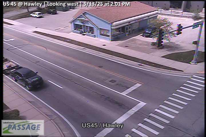 WorkingStill imageUS 45 at Hawley, looking west
 WorkingStill imageUS 45 at Winchester, looking east
 WorkingStill imageUS 45 at Winchester, looking north
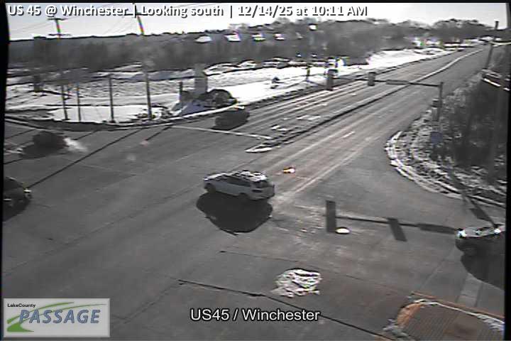 WorkingStill imageUS 45 at Winchester, looking south
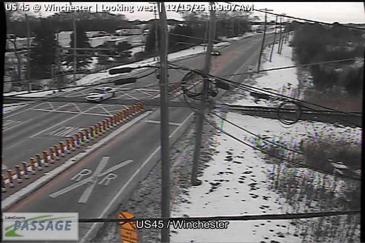 WorkingStill imageUS 45 at Winchester, looking west
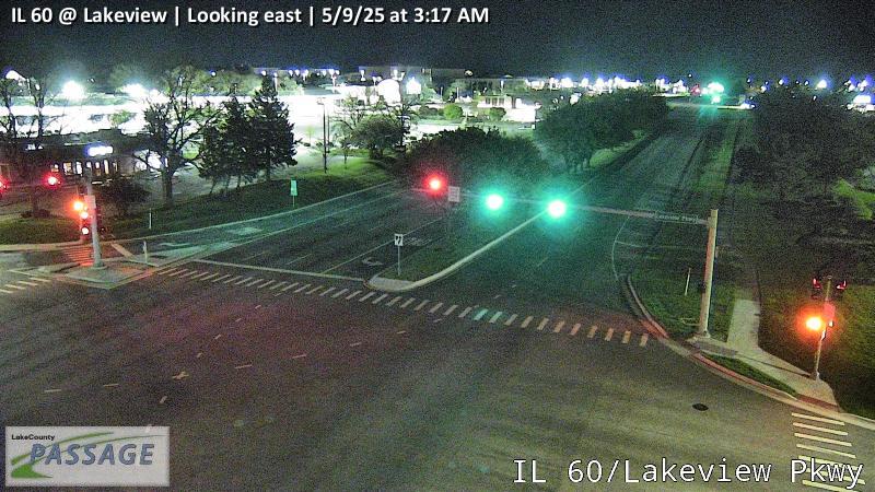 WorkingStill imageIL 60 at Lakeview, looking east
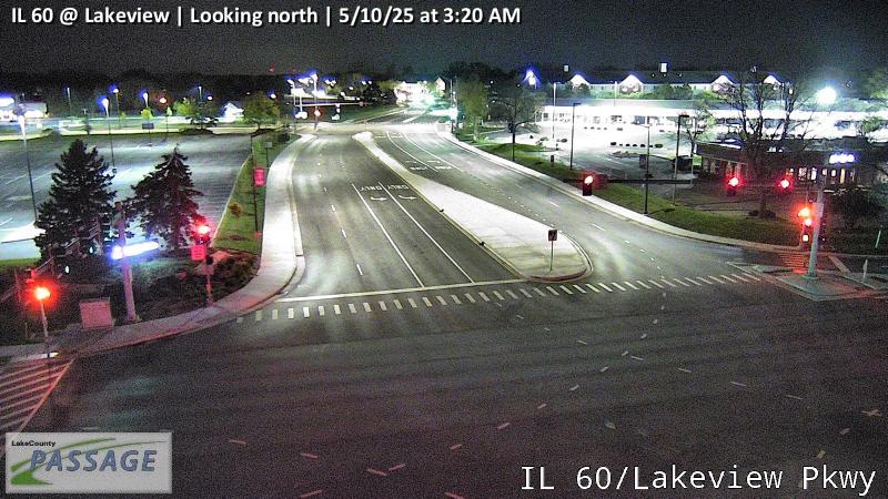 WorkingStill imageIL 60 at Lakeview, looking north
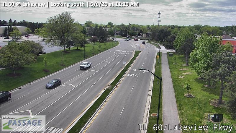 WorkingStill imageIL 60 at Lakeview, looking south
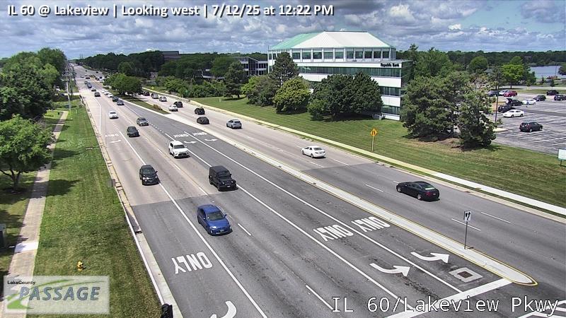 WorkingStill imageIL 60 at Lakeview, looking west
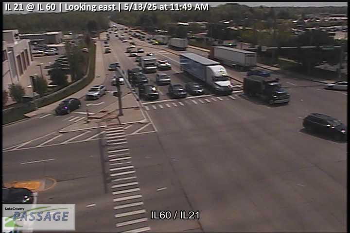 WorkingStill imageIL 21 at IL 60, looking east
 WorkingStill imageIL 21 at IL 60, looking north
 WorkingStill imageIL 21 at IL 60, looking south
 WorkingStill imageIL 21 at IL 60, looking west
 WorkingStill imageButterfield at Hawthorne, looking north
 WorkingStill imageButterfield at Hawthorne, looking south
 WorkingStill imageUS 45 at Allanson, looking east
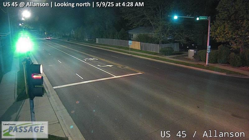 WorkingStill imageUS 45 at Allanson, looking north
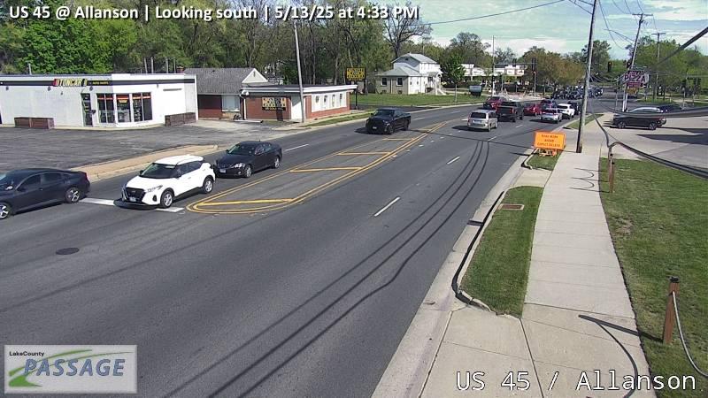 WorkingStill imageUS 45 at Allanson, looking south
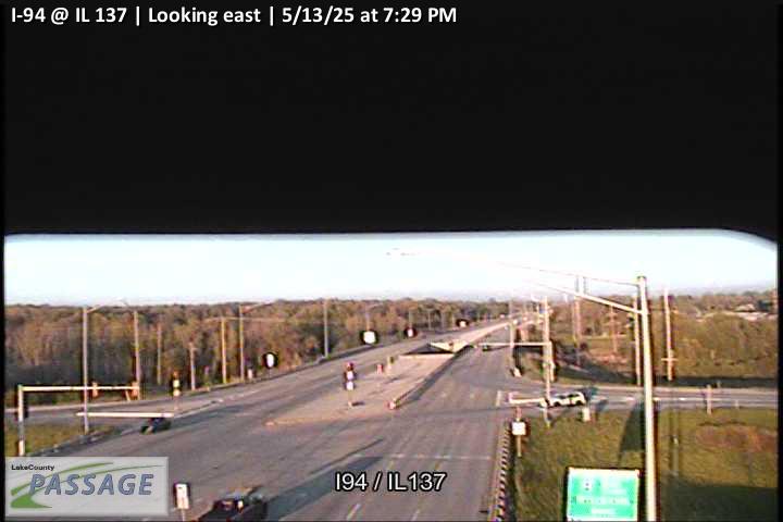 WorkingStill imageI-94 at IL 137, looking east
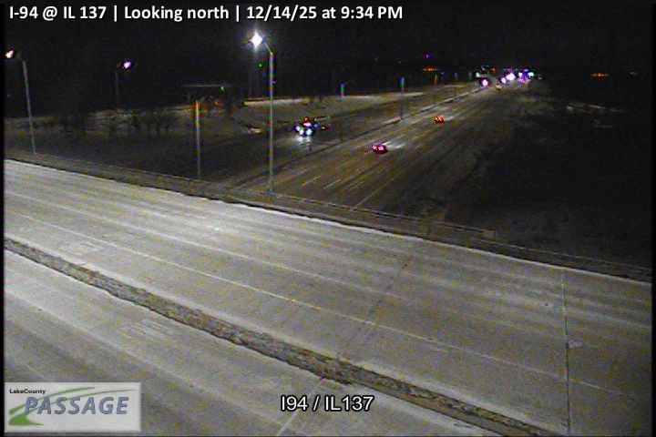 WorkingStill imageI-94 at IL 137, looking north
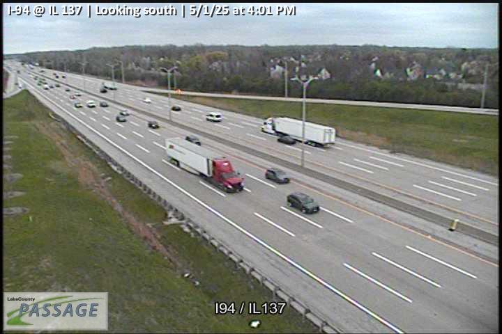 WorkingStill imageI-94 at IL 137, looking south
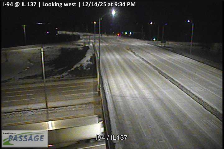 WorkingStill imageI-94 at IL 137, looking west
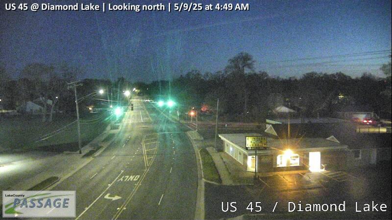 WorkingStill imageUS 45 at Diamond Lake, looking north
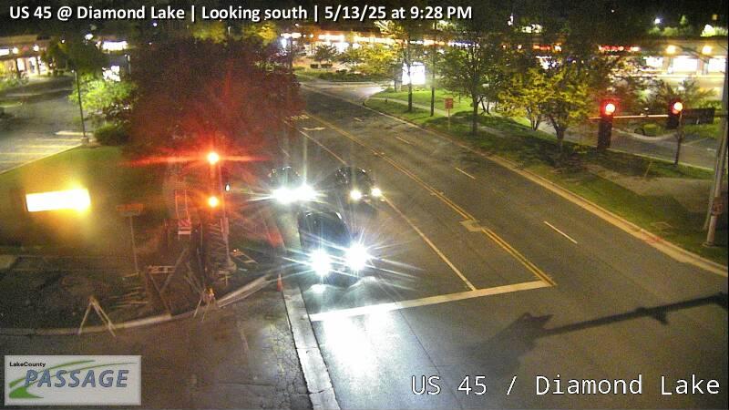 WorkingStill imageUS 45 at Diamond Lake, looking south
 WorkingStill imageUS 45 at Diamond Lake, looking west
 WorkingStill imageIL 60 at Butterfield, looking east
 WorkingStill imageIL 60 at Butterfield, looking north
 WorkingStill imageIL 60 at Butterfield, looking south
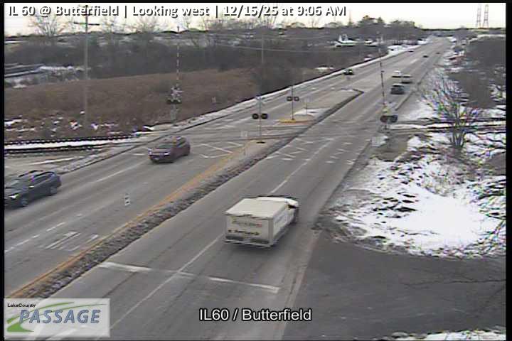 WorkingStill imageIL 60 at Butterfield, looking west
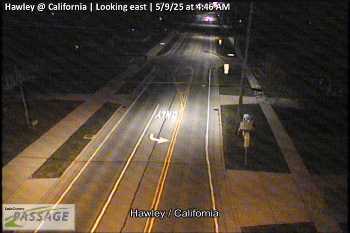 WorkingStill imageHawley at California, looking east
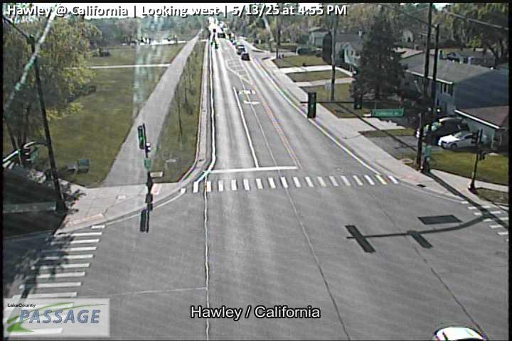 WorkingStill imageHawley at California, looking west
 WorkingStill imageI-94 at Buckley Road, Lake County, looking west
 WorkingStill imageIL 60 at St Marys, looking east
 WorkingStill imageIL 60 at St Marys, looking north
 WorkingStill imageIL 60 at St Marys, looking south
 WorkingStill imageIL 60 at St Marys, looking west
_cctv_North_Leg.jpg) WorkingStill imageMidlothian at Keith Mione (Wireless), looking north
WorkingStill imageMidlothian at Keith Mione (Wireless), looking north_cctv_South_Leg.jpg) WorkingStill imageMidlothian at Keith Mione (Wireless), looking south
WorkingStill imageMidlothian at Keith Mione (Wireless), looking south WorkingStill imageIL 43 at Abbott Gate 4, looking north
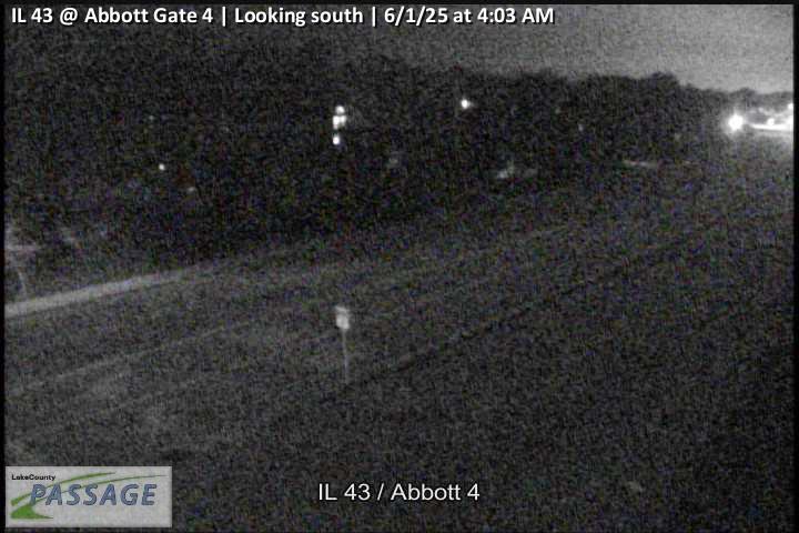 WorkingStill imageIL 43 at Abbott Gate 4, looking south
_cctv_East_Leg.jpg) WorkingStill imageIL 176 at Midlothian (Wireless), looking east
WorkingStill imageIL 176 at Midlothian (Wireless), looking east_cctv_North_Leg.jpg) WorkingStill imageIL 176 at Midlothian (Wireless), looking north
WorkingStill imageIL 176 at Midlothian (Wireless), looking north_cctv_South_Leg.jpg) WorkingStill imageIL 176 at Midlothian (Wireless), looking south
WorkingStill imageIL 176 at Midlothian (Wireless), looking south_cctv_West_Leg.jpg) WorkingStill imageIL 176 at Midlothian (Wireless), looking west
WorkingStill imageIL 176 at Midlothian (Wireless), looking west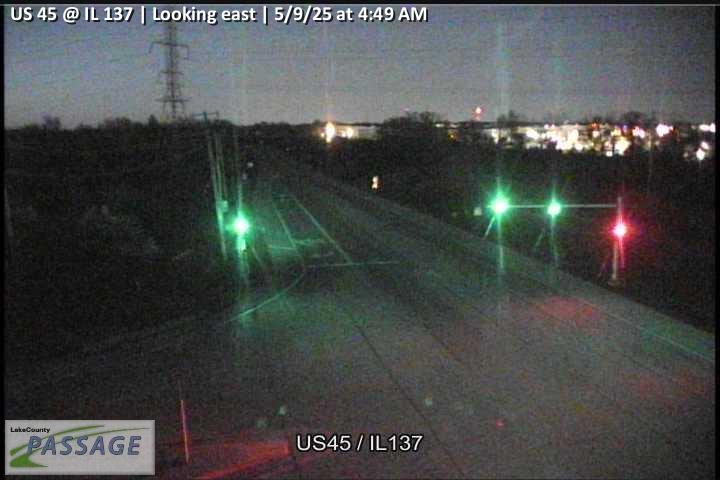 WorkingStill imageUS 45 at IL 137, looking east
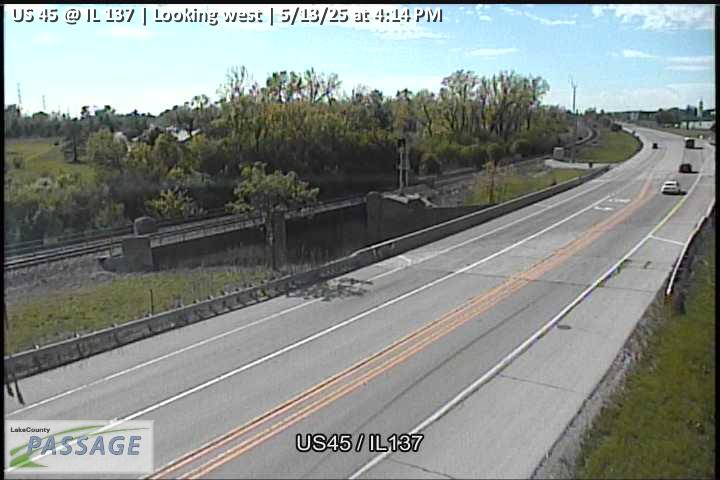 WorkingStill imageUS 45 at IL 137, looking west
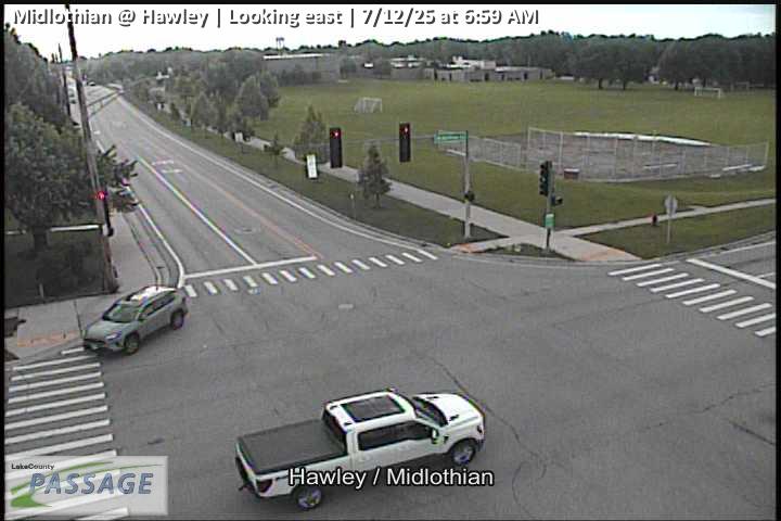 WorkingStill imageMidlothian at Hawley, looking east
 WorkingStill imageMidlothian at Hawley, looking north
 WorkingStill imageMidlothian at Hawley, looking south
 WorkingStill imageMidlothian at Hawley, looking west
 WorkingStill imageMidlothian at Winchester, looking east
 WorkingStill imageMidlothian at Winchester, looking north
 WorkingStill imageMidlothian at Winchester, looking south
 WorkingStill imageMidlothian at Winchester, looking west
 WorkingStill imageIL 43 at IL 137, looking east
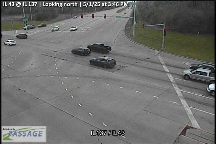 WorkingStill imageIL 43 at IL 137, looking north
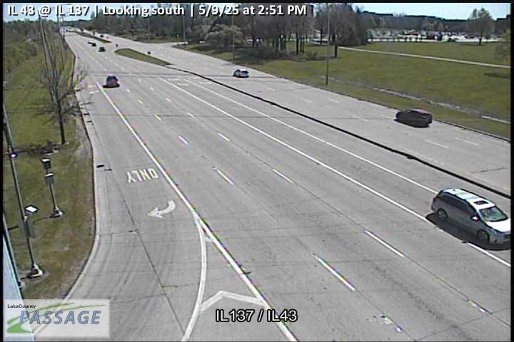 WorkingStill imageIL 43 at IL 137, looking south
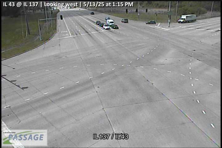 WorkingStill imageIL 43 at IL 137, looking west
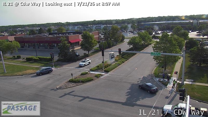 WorkingStill imageIL 21 at Cdw Way, looking east
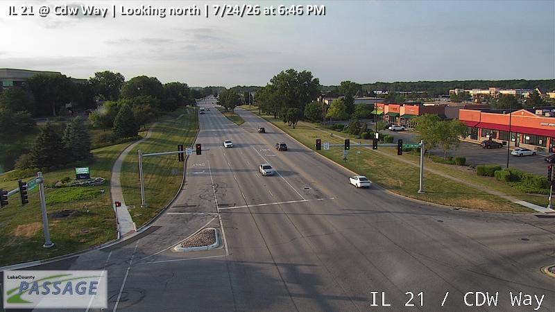 WorkingStill imageIL 21 at Cdw Way, looking north
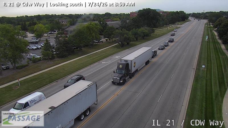 WorkingStill imageIL 21 at Cdw Way, looking south
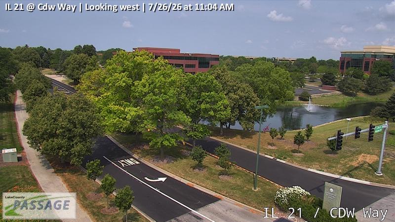 WorkingStill imageIL 21 at Cdw Way, looking west
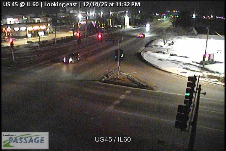 WorkingStill imageUS 45 at IL 60, looking east
 WorkingStill imageUS 45 at IL 60, looking north
 WorkingStill imageUS 45 at IL 60, looking south
 WorkingStill imageUS 45 at IL 60, looking west
 WorkingStill imageUS 45 at Casey, looking east
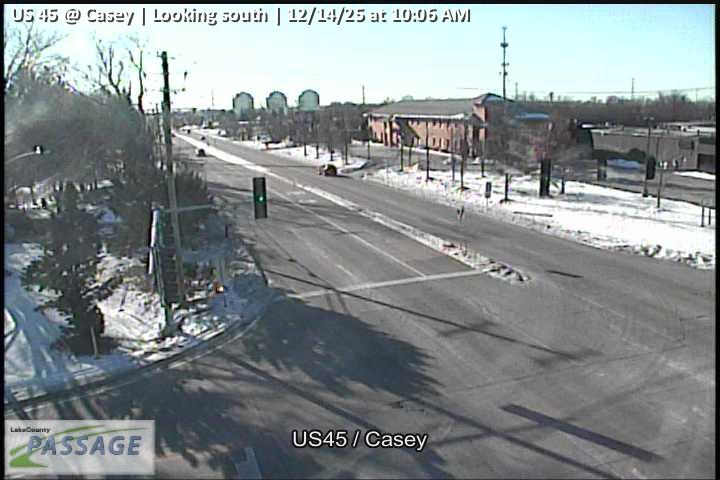 WorkingStill imageUS 45 at Casey, looking south
 WorkingStill imageUS 45 at Casey, looking west
 WorkingStill imageMidlothian at Peterson, looking east
 WorkingStill imageMidlothian at Peterson, looking north
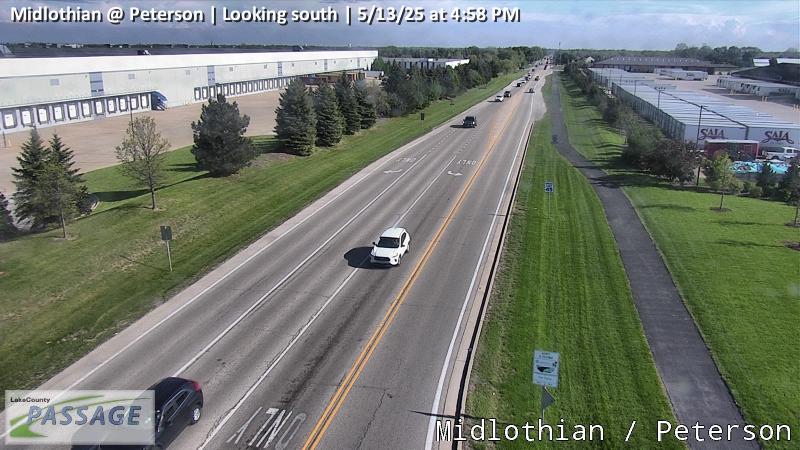 WorkingStill imageMidlothian at Peterson, looking south
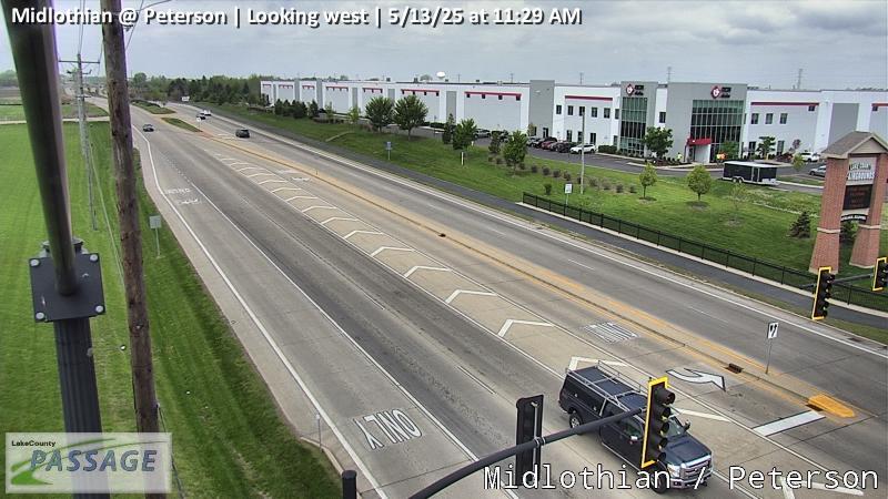 WorkingStill imageMidlothian at Peterson, looking west
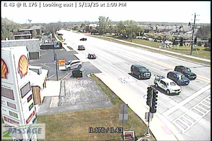 WorkingStill imageIL 43 at IL 176, looking east
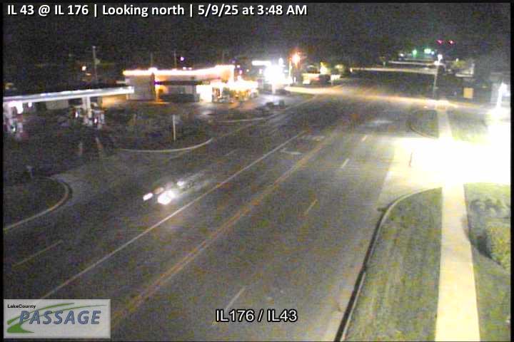 WorkingStill imageIL 43 at IL 176, looking north
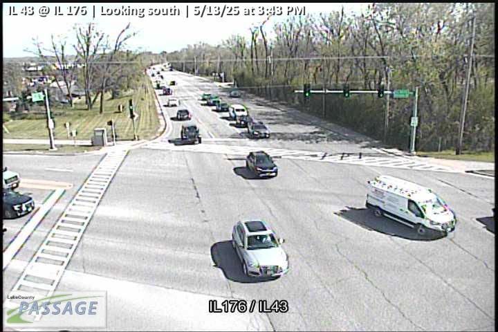 WorkingStill imageIL 43 at IL 176, looking south
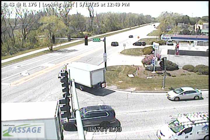 WorkingStill imageIL 43 at IL 176, looking west
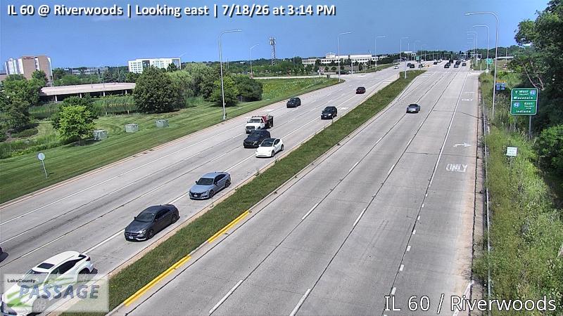 WorkingStill imageIL 60 at Riverwoods, looking east
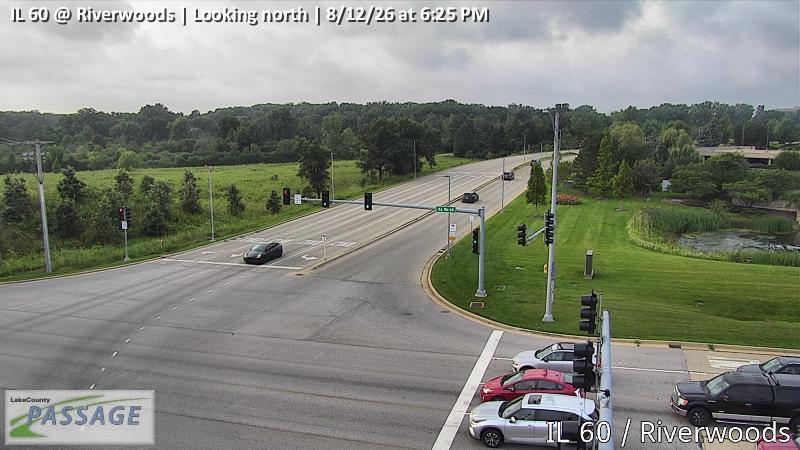 WorkingStill imageIL 60 at Riverwoods, looking north
 WorkingStill imageIL 60 at Riverwoods, looking south
 WorkingStill imageIL 60 at Riverwoods, looking west
 WorkingStill imageUS 45 at IL 83, looking east
 WorkingStill imageUS 45 at IL 83, looking south
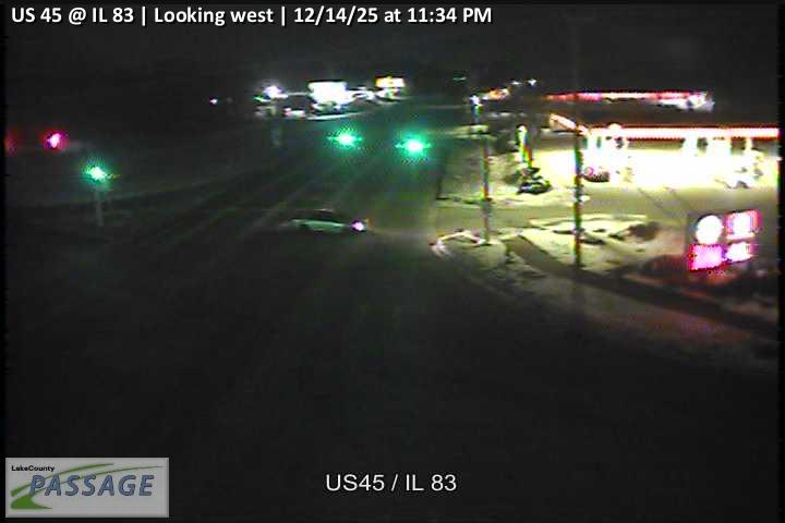 WorkingStill imageUS 45 at IL 83, looking west
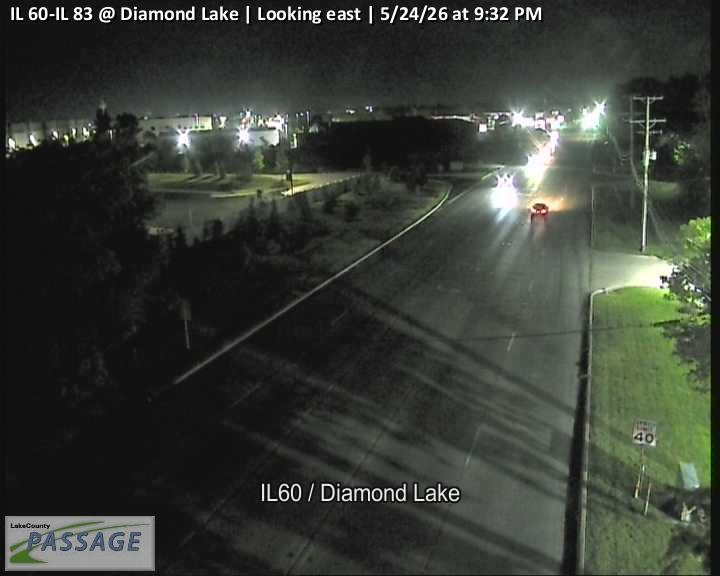 WorkingStill imageIL 60-IL 83 at Diamond Lake, looking east
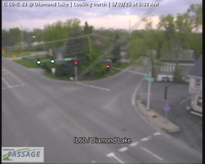 WorkingStill imageIL 60-IL 83 at Diamond Lake, looking north
 WorkingStill imageIL 60-IL 83 at Diamond Lake, looking south
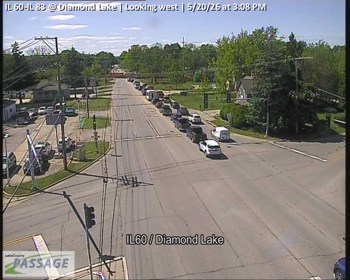 WorkingStill imageIL 60-IL 83 at Diamond Lake, looking west
 WorkingStill imageIL 43 at MLK, looking east
 WorkingStill imageIL 43 at MLK, looking north
 WorkingStill imageIL 43 at MLK, looking south
 WorkingStill imageI-94 at IL 60, looking north
 WorkingStill imageI-94 at IL 60, looking south
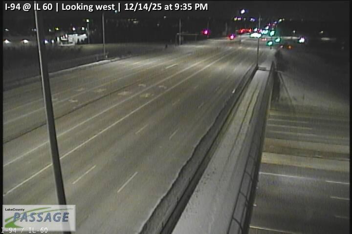 WorkingStill imageI-94 at IL 60, looking west
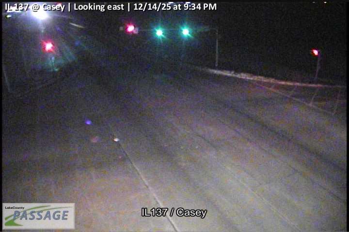 WorkingStill imageIL 137 at Casey, looking east
 WorkingStill imageIL 137 at Casey, looking north
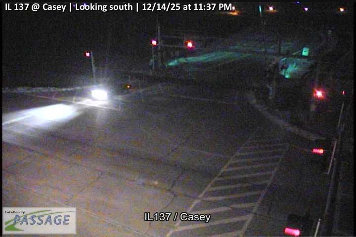 WorkingStill imageIL 137 at Casey, looking south
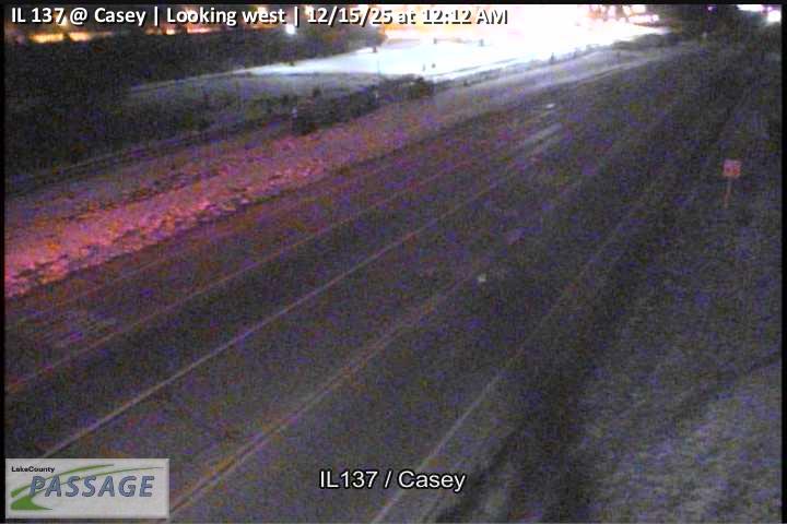 WorkingStill imageIL 137 at Casey, looking west
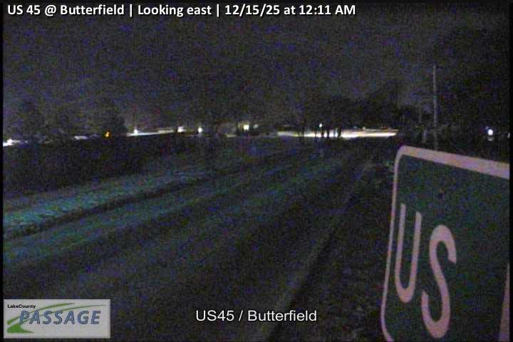 WorkingStill imageUS 45 at Butterfield, looking east
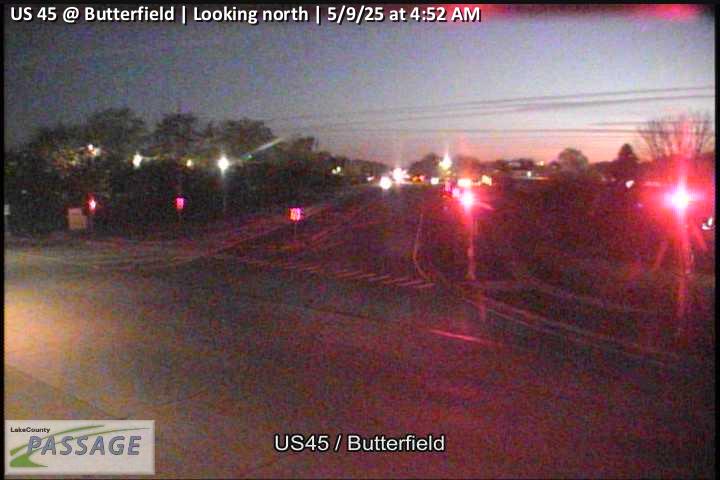 WorkingStill imageUS 45 at Butterfield, looking north
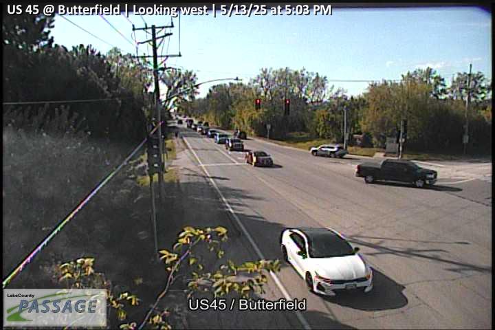 WorkingStill imageUS 45 at Butterfield, looking west
_cctv_North_Leg.jpg) WorkingStill imageIL 120 at Hunt Club (Wireless), looking north
WorkingStill imageIL 120 at Hunt Club (Wireless), looking northNo live video among these cameras. Turn off "Live video only" to see them all.
Best cams to watch
- IL 21 at Valley Park, looking south — Still image · every 10 min, working 100 % of the time in the last 30 days.
- IL 21 at Hollister, looking north — Still image · every 10 min, working 100 % of the time in the last 30 days.
- US 45 at Casey, looking north — Still image · every 10 min, working 100 % of the time in the last 30 days.
Libertyville’s downtown is a run of brick storefronts along Milwaukee Avenue, rebuilt after a fire in 1895 destroyed the old wooden business district and the village required masonry from then on. The result earned recognition from the National Trust for Historic Preservation. The town, home to about 20,600 people at the 2020 Census, lies about 40 miles north of the Loop and some five miles inland from Lake Michigan, with the Des Plaines River forming much of its eastern edge. Founded as Vardin’s Grove, it was briefly Independence Grove before taking the name Libertyville in 1837, and it even served as Lake County’s seat under the name Burlington for a short spell.
Its best-known former resident is Adlai E. Stevenson II, governor of Illinois and two-time presidential nominee, who bought land by the Des Plaines River in 1935 in what was then considered Libertyville. His home, now in neighboring Mettawa, is a National Historic Landmark run by the Lake County Forest Preserves.
Seventy cameras in the Libertyville listing come from Illinois DOT’s Gateway feed, which also supplies Getting Around Illinois and Travel Midwest. Look for views on Milwaukee Avenue (IL-21), the main street through town, and on the east–west routes IL-176 and IL-137 that link Libertyville to Mundelein and the Tollway. The images are periodic still captures, refreshed every few minutes, rather than streaming video.
The town is on Central Time. Summer evenings draw diners and strollers downtown, and weekday commuters fill IL-176 and IL-137 early and late. December snow on Milwaukee Avenue, patchy fog along the river valley and summer thunderstorms all show up well on traffic cameras. After clocks go back in early November, darkness arrives before most people finish work.
Metra’s Milwaukee District North Line has two Libertyville stations. Independence Grove Forest Preserve sits just north of town, and cameras in Mundelein and Vernon Hills appear within the same radius.
Sources: Libertyville, Illinois – Wikipedia · Adlai E. Stevenson II Farm – Wikipedia · Adlai E. Stevenson Historic Home – Lake County Forest Preserves.
Nearby places
- Waukegan (620)
- Wheaton (617)
- North Peoria (554)
- Peoria (553)
- Naperville (475)
- Gurnee (386)
- Palatine (354)
- Grayslake (346)
Questions about Libertyville
How many cameras does LiveLocation have in Libertyville?
LiveLocation lists 200 cameras in and around Libertyville, United States: 0 live video, 200 still images. 200 of them were live or showing a fresh image at the last check.
Where do the Libertyville cameras come from?
All of them come from Illinois DOT (200). Each camera plays straight from the agency or owner that runs it, with credit. Illinois DOT
What kinds of views are there in Libertyville?
All of them show traffic and highway (200). Good ones to start with: IL 21 at Valley Park, looking south and IL 21 at Hollister, looking north. IL 21 at Valley Park, looking south IL 21 at Hollister, looking north
Is there live video from Libertyville?
Not yet: the cameras here send still images that refresh about every 10 minutes. The map can show only live-video cameras nearby. Live video on the map
When is the best time to watch the Libertyville cameras?
Libertyville is on America/Chicago time. On October 7 the sun rises at 6:55 AM and sets at 6:23 PM, so still images are clearest between those times. Road cameras show the most traffic in the weekday morning and evening rush hours.
Are there live cameras near Libertyville?
The nearest are Mundelein (2.9 mi away, 271 cameras), Vernon Hills (4.6 mi away, 306 cameras) and Lake Forest (6.0 mi away, 140 cameras). Mundelein Vernon Hills Lake Forest
Is there a map of the cameras in Libertyville?
The map at the top of this page shows all 200 of them. The live camera radar centers on Libertyville and lists every camera within 5 to 250 miles, nearest first, with filters for live video, traffic, nature and more. Open the radar on Libertyville
Place names and locations: GeoNames, licensed under CC BY 4.0.