Live cameras in Lake Forest, United States
140 cameras: 0 live video, 140 still images · 140 working now · updated Oct 8, 03:34 UTC
Lake Forest has 140 live cameras on LiveLocation right now: 0 live video, 140 still images. Good places to start: I-94 at IL 60, looking east, IL 131 at IL 176, looking east, IL 131 at IL 176, looking north. Local time is 10:34 PM (America/Chicago). Today the sun rises at 6:55 AM and sets at 6:22 PM.
Lake Forest live cameras
Lake Forest live cameras, all in one place: 0 live video, 140 still images. 140 of them were live or fresh at the last check. Lake Forest is home to about 19,000 people.
Weather now in Lake Forest: 60 °F (15 °C), mostly clear, wind 10 mph (16 km/h) from the west. Forecast for 11 PM local time. Weather: MET Norway (CC BY 4.0)
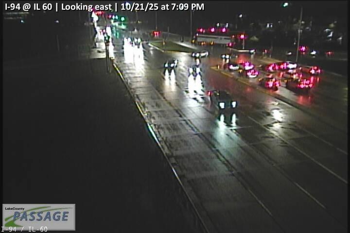 WorkingStill imageI-94 at IL 60, looking east
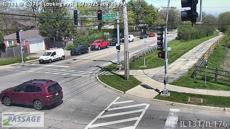 WorkingStill imageIL 131 at IL 176, looking east
 WorkingStill imageIL 131 at IL 176, looking north
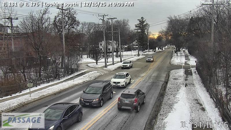 WorkingStill imageIL 131 at IL 176, looking south
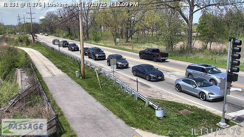 WorkingStill imageIL 131 at IL 176, looking west
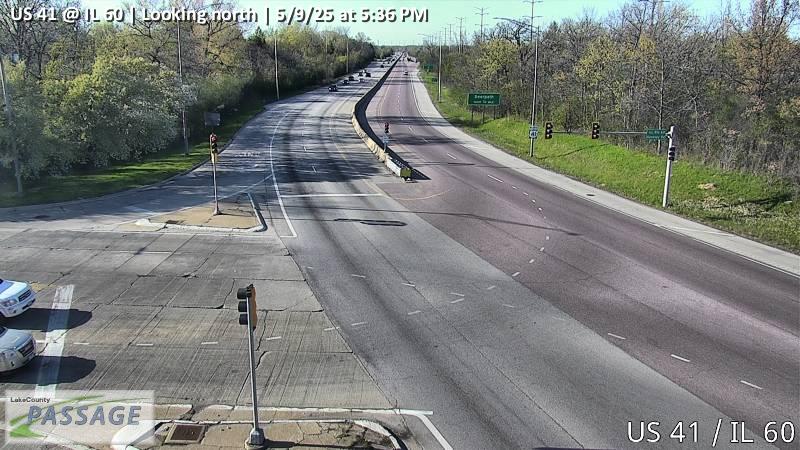 WorkingStill imageUS 41 at IL 60, looking north
 WorkingStill imageUS 41 at IL 60, looking south
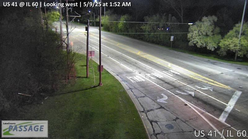 WorkingStill imageUS 41 at IL 60, looking west
 WorkingStill imageIL 43 at Deerpath, looking north
 WorkingStill imageIL 43 at Deerpath, looking south
 WorkingStill imageUS 41 at Westleigh, looking east
 WorkingStill imageUS 41 at Westleigh, looking north
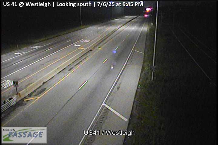 WorkingStill imageUS 41 at Westleigh, looking south
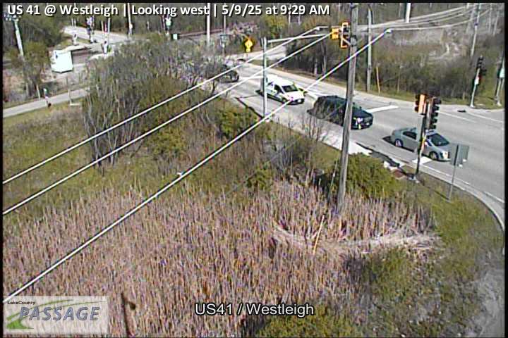 WorkingStill imageUS 41 at Westleigh, looking west
 WorkingStill imageIL 43 at IL 60, looking east
 WorkingStill imageIL 43 at IL 60, looking north
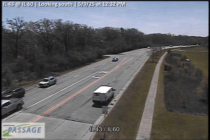 WorkingStill imageIL 43 at IL 60, looking south
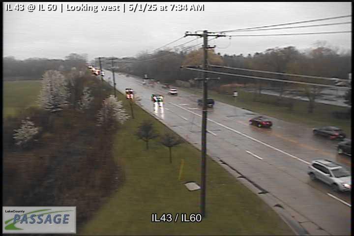 WorkingStill imageIL 43 at IL 60, looking west
 WorkingStill imageUS 41 at IL 176, looking east
 WorkingStill imageUS 41 at IL 176, looking north
 WorkingStill imageUS 41 at IL 176, looking south
 WorkingStill imageUS 41 at IL 176, looking west
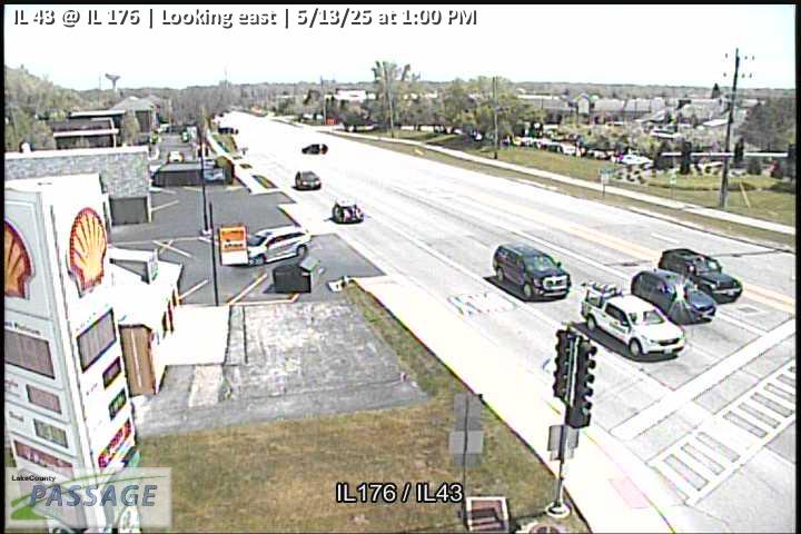 WorkingStill imageIL 43 at IL 176, looking east
 WorkingStill imageIL 43 at IL 176, looking north
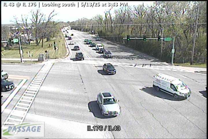 WorkingStill imageIL 43 at IL 176, looking south
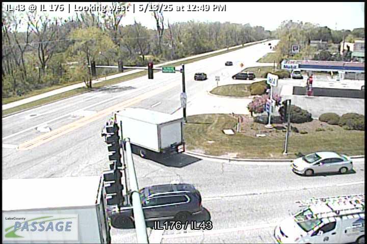 WorkingStill imageIL 43 at IL 176, looking west
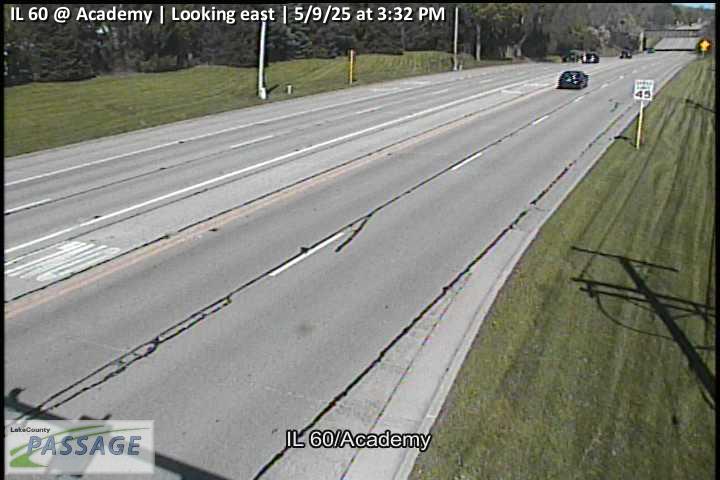 WorkingStill imageIL 60 at Academy, looking east
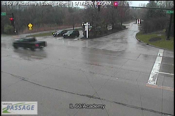 WorkingStill imageIL 60 at Academy, looking north
 WorkingStill imageIL 60 at Academy, looking south
 WorkingStill imageIL 60 at Academy, looking west
 WorkingStill imageUS 41 at Old Elm, looking east
 WorkingStill imageUS 41 at Old Elm, looking north
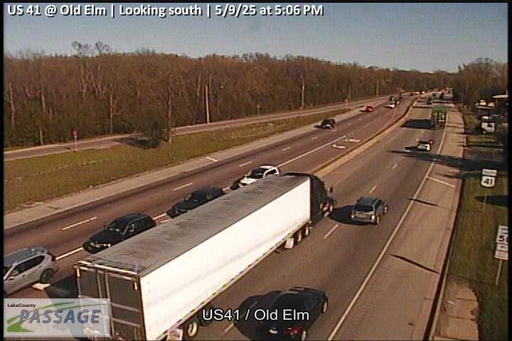 WorkingStill imageUS 41 at Old Elm, looking south
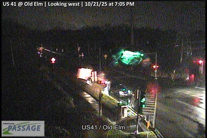 WorkingStill imageUS 41 at Old Elm, looking west
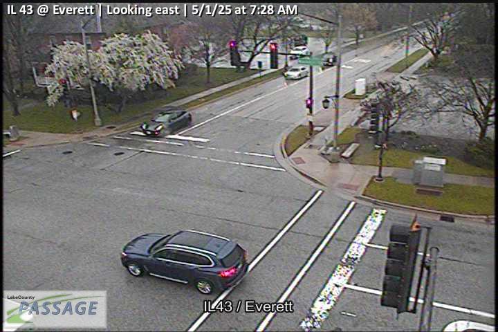 WorkingStill imageIL 43 at Everett, looking east
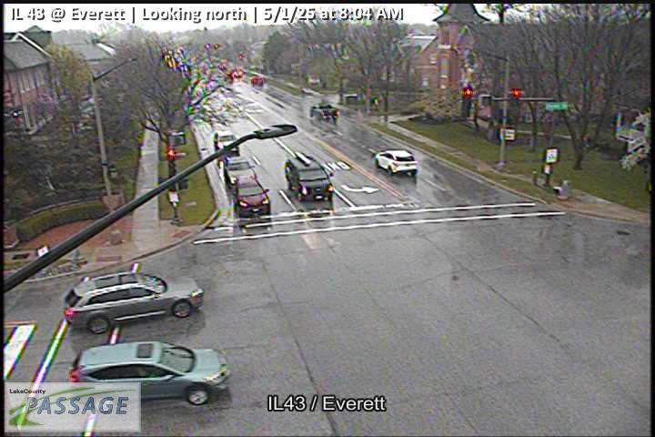 WorkingStill imageIL 43 at Everett, looking north
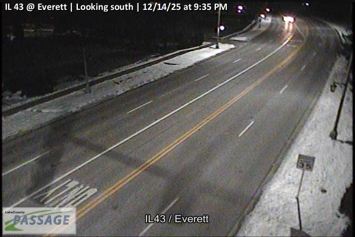 WorkingStill imageIL 43 at Everett, looking south
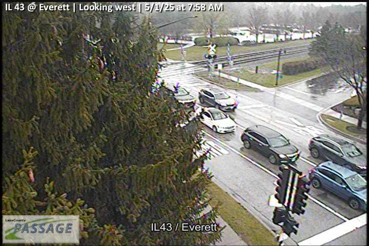 WorkingStill imageIL 43 at Everett, looking west
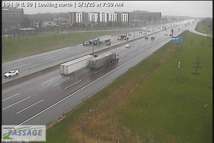 WorkingStill imageI-94 at IL 60, looking north
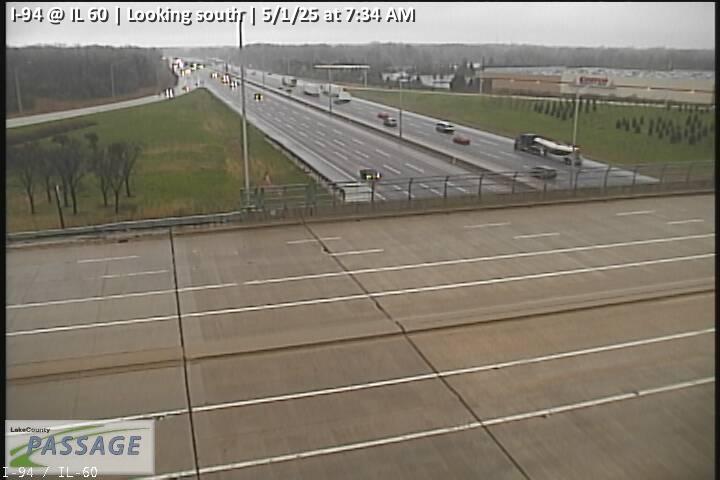 WorkingStill imageI-94 at IL 60, looking south
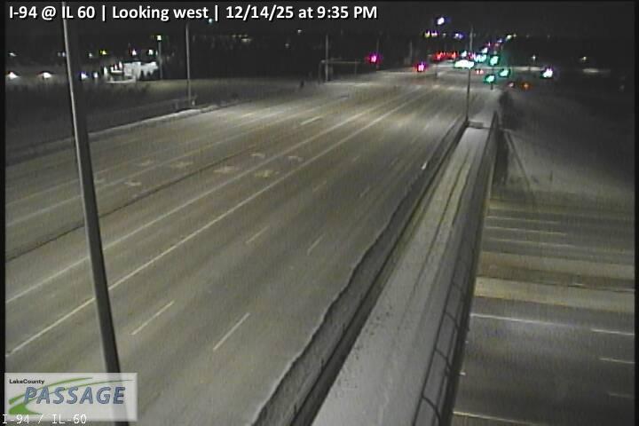 WorkingStill imageI-94 at IL 60, looking west
 WorkingStill imageIL 137 at Bobby Thompson Expy, looking north
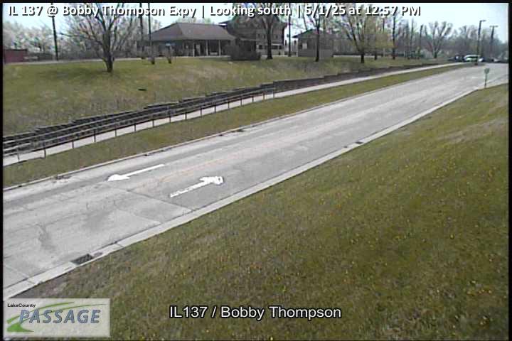 WorkingStill imageIL 137 at Bobby Thompson Expy, looking south
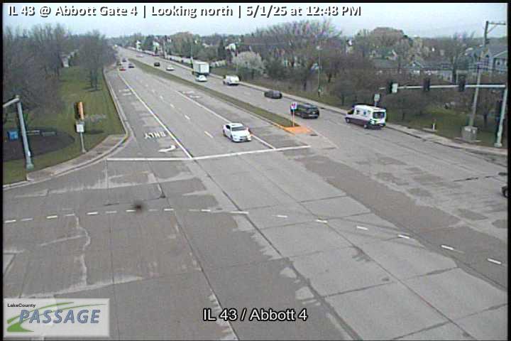 WorkingStill imageIL 43 at Abbott Gate 4, looking north
 WorkingStill imageIL 43 at Abbott Gate 4, looking south
 WorkingStill imageIL 137 at Lewis, looking east
 WorkingStill imageIL 137 at Lewis, looking west
 WorkingStill imageIL 60 at Riverwoods, looking east
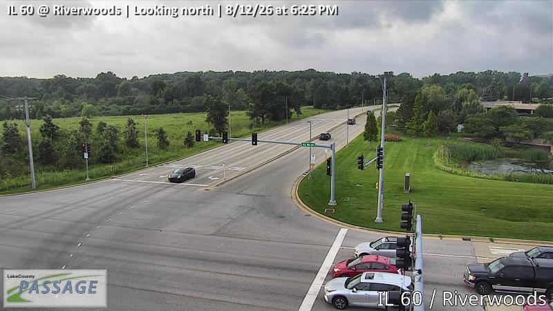 WorkingStill imageIL 60 at Riverwoods, looking north
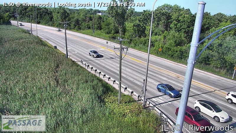 WorkingStill imageIL 60 at Riverwoods, looking south
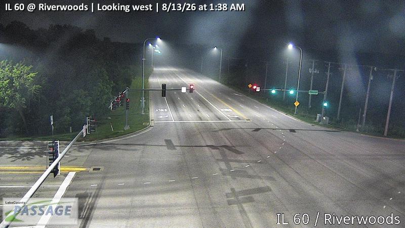 WorkingStill imageIL 60 at Riverwoods, looking west
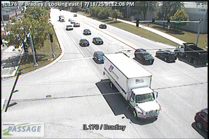 WorkingStill imageIL 176 at Bradley, looking east
 WorkingStill imageIL 176 at Bradley, looking south
 WorkingStill imageIL 176 at Bradley, looking west
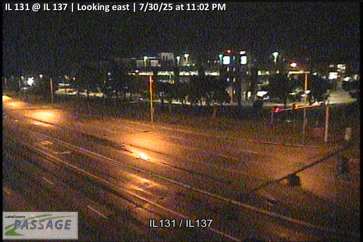 WorkingStill imageIL 131 at IL 137, looking east
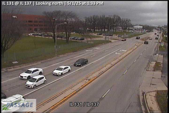 WorkingStill imageIL 131 at IL 137, looking north
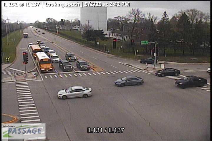 WorkingStill imageIL 131 at IL 137, looking south
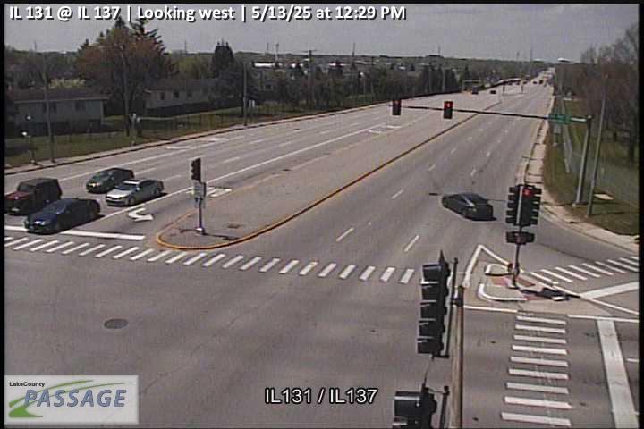 WorkingStill imageIL 131 at IL 137, looking west
_cctv_North_Leg.jpg) WorkingStill imageSheridan at Washington Ave (Cell), looking north
WorkingStill imageSheridan at Washington Ave (Cell), looking north_cctv_South_Leg.jpg) WorkingStill imageSheridan at Washington Ave (Cell), looking south
WorkingStill imageSheridan at Washington Ave (Cell), looking south_cctv_West_Leg.jpg) WorkingStill imageSheridan at Washington Ave (Cell), looking west
WorkingStill imageSheridan at Washington Ave (Cell), looking west WorkingStill imageUS 41 at IL 137, looking east
 WorkingStill imageUS 41 at IL 137, looking north
 WorkingStill imageUS 41 at IL 137, looking south
 WorkingStill imageUS 41 at IL 137, looking west
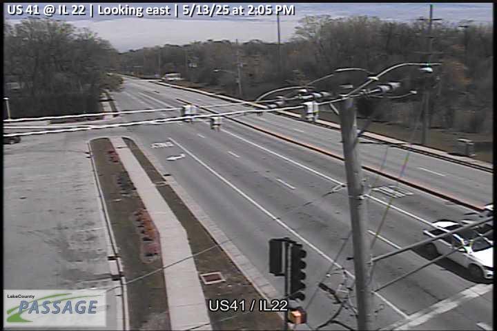 WorkingStill imageUS 41 at IL 22, looking east
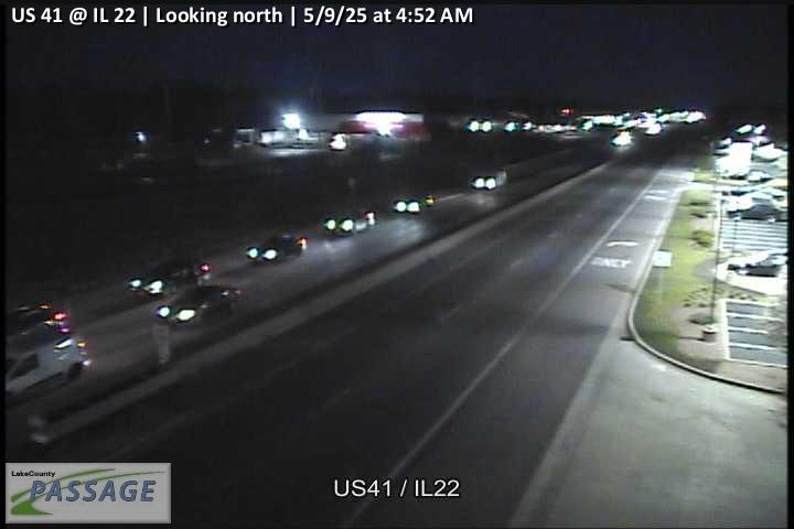 WorkingStill imageUS 41 at IL 22, looking north
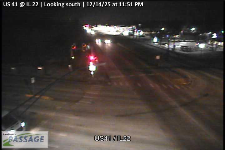 WorkingStill imageUS 41 at IL 22, looking south
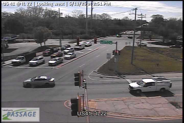 WorkingStill imageUS 41 at IL 22, looking west
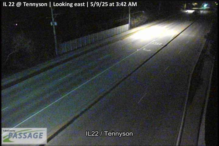 WorkingStill imageIL 22 at Tennyson, looking east
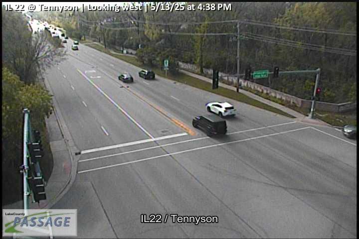 WorkingStill imageIL 22 at Tennyson, looking west
_cctv_East_Leg.jpg) WorkingStill imageHalf Day at Summit (Wireless), looking east
WorkingStill imageHalf Day at Summit (Wireless), looking east_cctv_North_Leg.jpg) WorkingStill imageHalf Day at Summit (Wireless), looking north
WorkingStill imageHalf Day at Summit (Wireless), looking north_cctv_West_Leg.jpg) WorkingStill imageHalf Day at Summit (Wireless), looking west
WorkingStill imageHalf Day at Summit (Wireless), looking west_cctv_East_Leg.jpg) WorkingStill imageEverett at Riverwoods (Cell), looking east
WorkingStill imageEverett at Riverwoods (Cell), looking east_cctv_North_Leg.jpg) WorkingStill imageEverett at Riverwoods (Cell), looking north
WorkingStill imageEverett at Riverwoods (Cell), looking north_cctv_South_Leg.jpg) WorkingStill imageEverett at Riverwoods (Cell), looking south
WorkingStill imageEverett at Riverwoods (Cell), looking south_cctv_West_Leg.jpg) WorkingStill imageEverett at Riverwoods (Cell), looking west
WorkingStill imageEverett at Riverwoods (Cell), looking west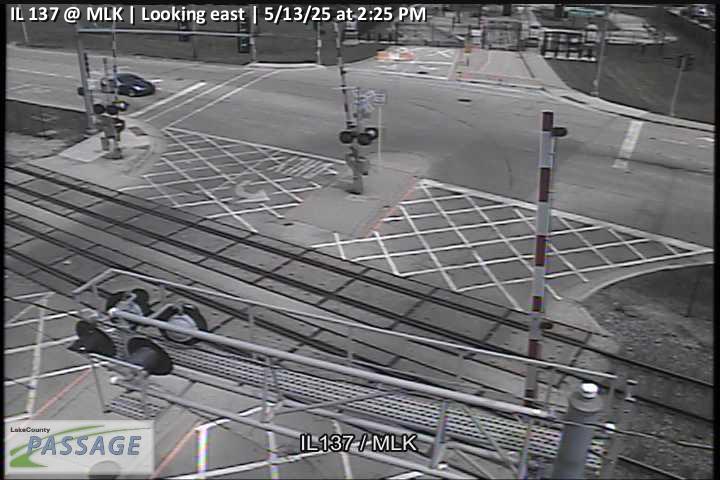 WorkingStill imageIL 137 at MLK, looking east
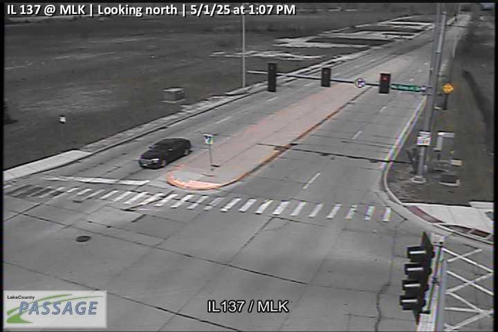 WorkingStill imageIL 137 at MLK, looking north
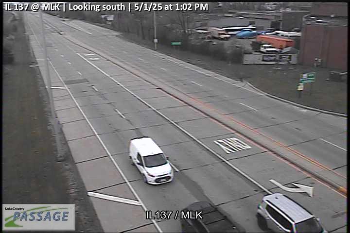 WorkingStill imageIL 137 at MLK, looking south
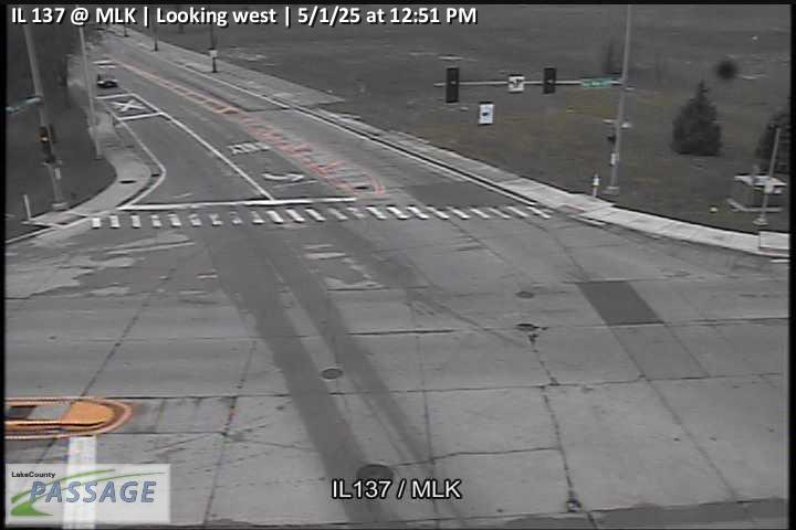 WorkingStill imageIL 137 at MLK, looking west
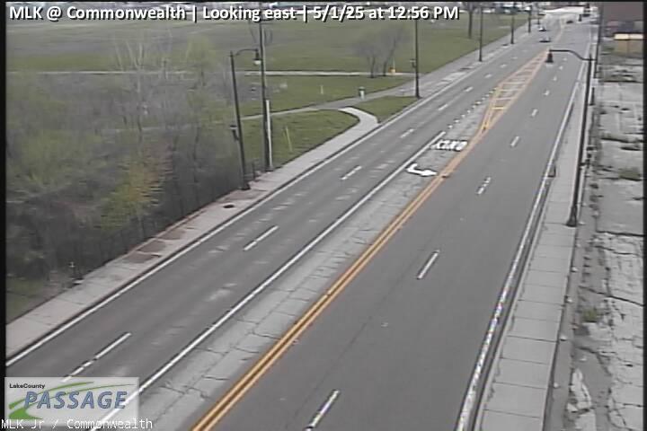 WorkingStill imageMLK at Commonwealth, looking east
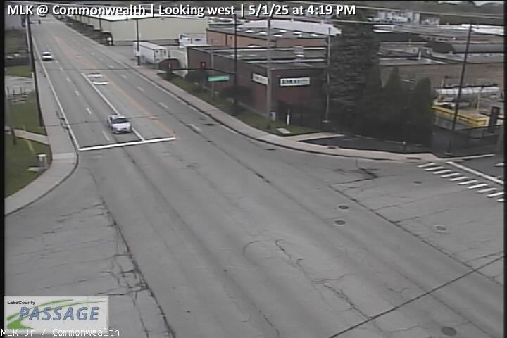 WorkingStill imageMLK at Commonwealth, looking west
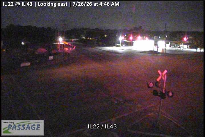 WorkingStill imageIL 22 at IL 43, looking east
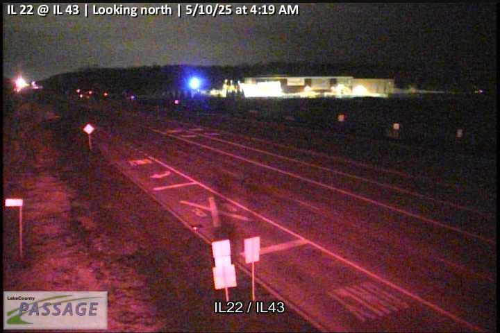 WorkingStill imageIL 22 at IL 43, looking north
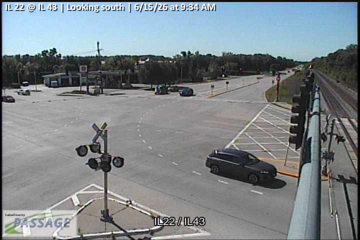 WorkingStill imageIL 22 at IL 43, looking south
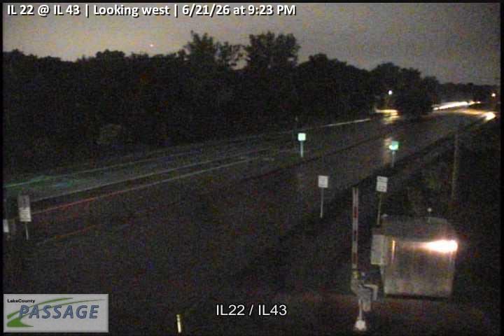 WorkingStill imageIL 22 at IL 43, looking west
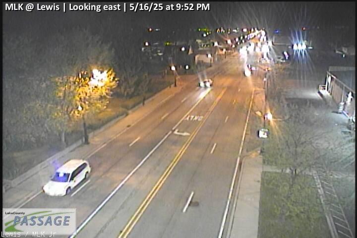 WorkingStill imageMLK at Lewis, looking east
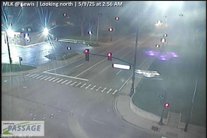 WorkingStill imageMLK at Lewis, looking north
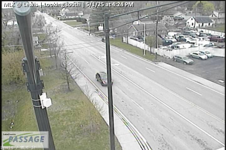 WorkingStill imageMLK at Lewis, looking south
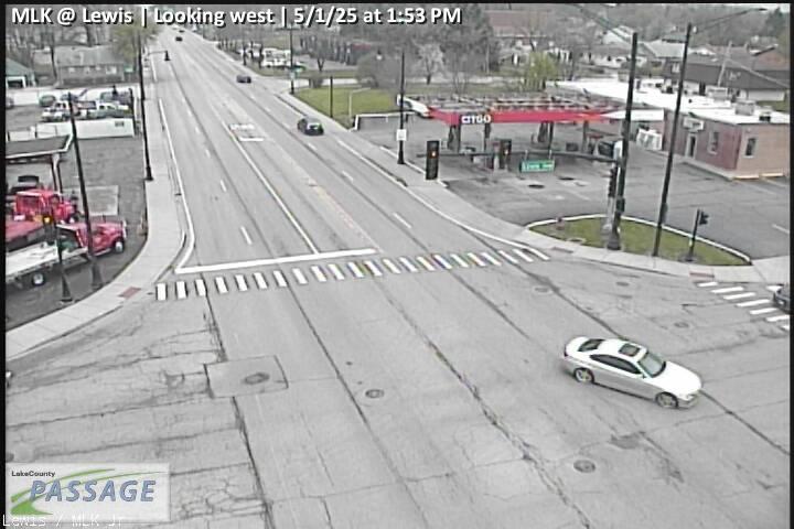 WorkingStill imageMLK at Lewis, looking west
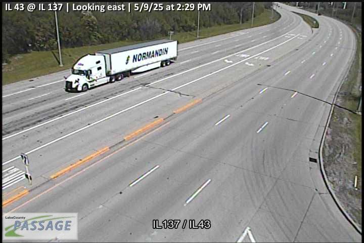 WorkingStill imageIL 43 at IL 137, looking east
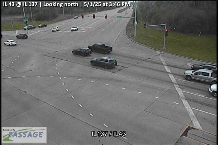 WorkingStill imageIL 43 at IL 137, looking north
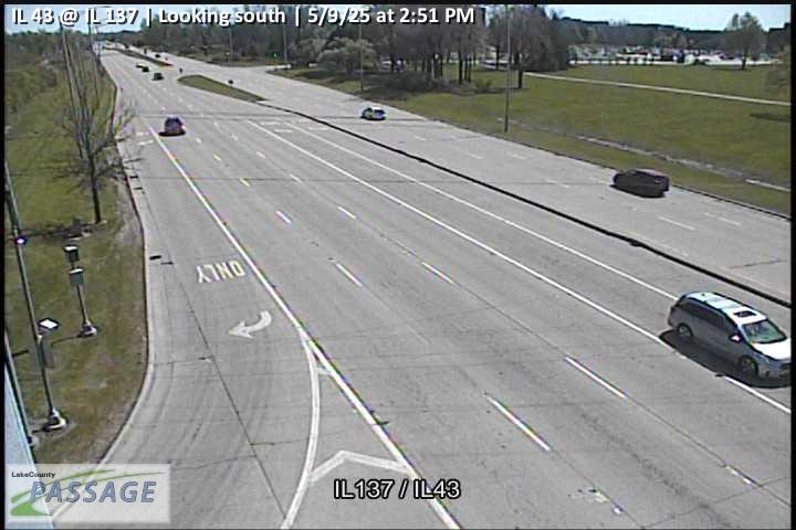 WorkingStill imageIL 43 at IL 137, looking south
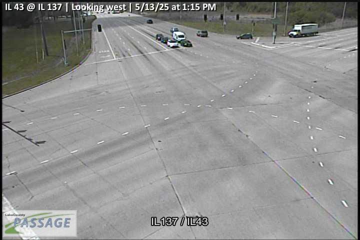 WorkingStill imageIL 43 at IL 137, looking west
 WorkingStill imageIL 131 at MLK, looking east
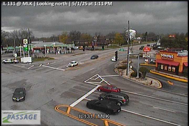 WorkingStill imageIL 131 at MLK, looking north
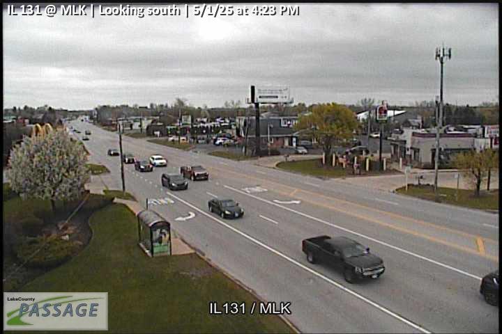 WorkingStill imageIL 131 at MLK, looking south
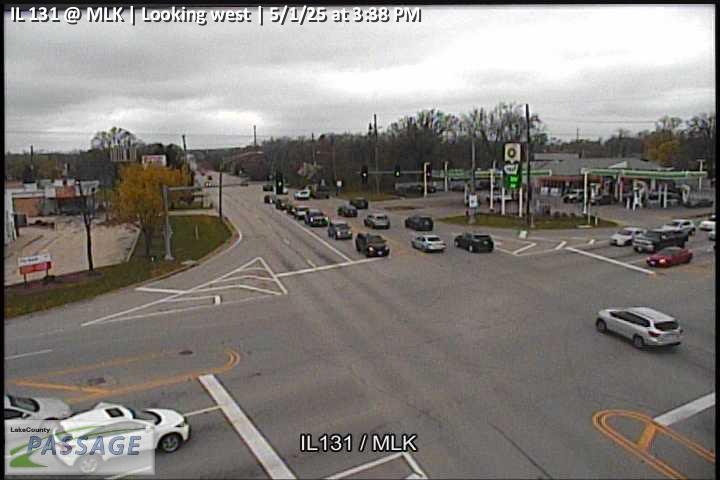 WorkingStill imageIL 131 at MLK, looking west
 WorkingStill imageIL 60 at St Marys, looking east
 WorkingStill imageIL 60 at St Marys, looking north
 WorkingStill imageIL 60 at St Marys, looking south
 WorkingStill imageIL 60 at St Marys, looking west
 WorkingStill imageSt Marys at Rockland, looking east
 WorkingStill imageSt Marys at Rockland, looking north
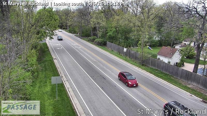 WorkingStill imageSt Marys at Rockland, looking south
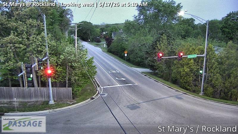 WorkingStill imageSt Marys at Rockland, looking west
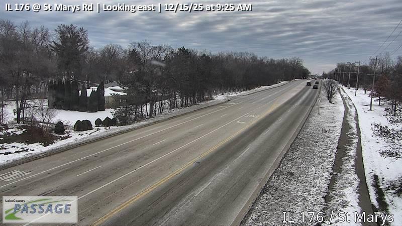 WorkingStill imageIL 176 at St Marys Rd, looking east
 WorkingStill imageIL 176 at St Marys Rd, looking north
 WorkingStill imageIL 176 at St Marys Rd, looking south
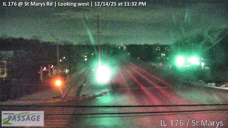 WorkingStill imageIL 176 at St Marys Rd, looking west
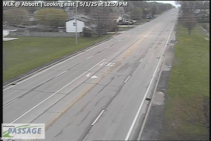 WorkingStill imageMLK at Abbott, looking east
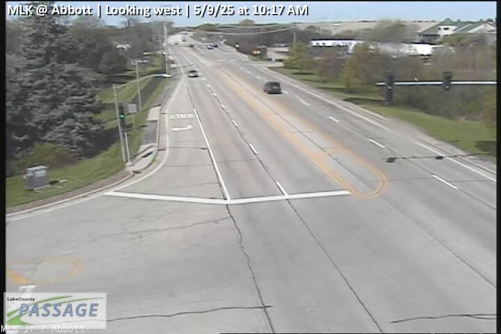 WorkingStill imageMLK at Abbott, looking west
 WorkingStill imageLewis at Argonne, looking east
 WorkingStill imageLewis at Argonne, looking north
 WorkingStill imageLewis at Argonne, looking south
 WorkingStill imageLewis at Argonne, looking west
 WorkingStill imageUS 41 at MLK, looking east
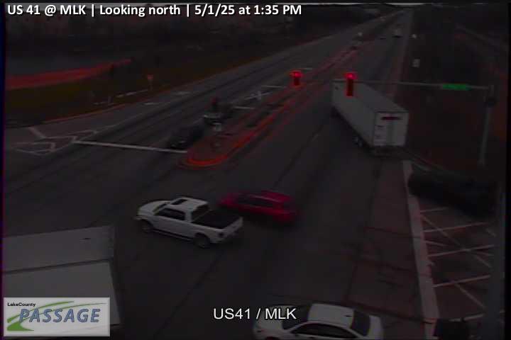 WorkingStill imageUS 41 at MLK, looking north
 WorkingStill imageUS 41 at MLK, looking south
 WorkingStill imageUS 41 at MLK, looking west
 WorkingStill imageI-94 at IL 22, looking east
 WorkingStill imageI-94 at IL 22, looking north
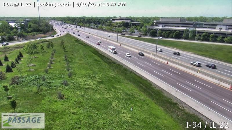 WorkingStill imageI-94 at IL 22, looking south
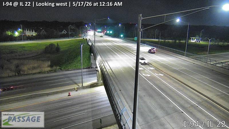 WorkingStill imageI-94 at IL 22, looking west
 WorkingStill imageSt Marys at Atkinson, looking east
 WorkingStill imageSt Marys at Atkinson, looking north
 WorkingStill imageSt Marys at Atkinson, looking south
 WorkingStill imageUS 41 at Park Ave West, looking east
 WorkingStill imageUS 41 at Park Ave West, looking north
 WorkingStill imageUS 41 at Park Ave West, looking south
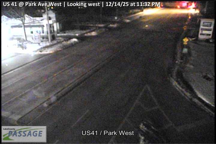 WorkingStill imageUS 41 at Park Ave West, looking west
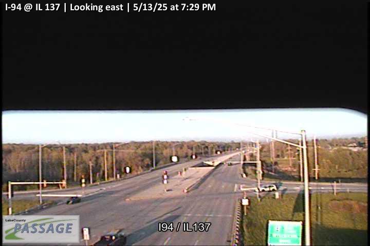 WorkingStill imageI-94 at IL 137, looking east
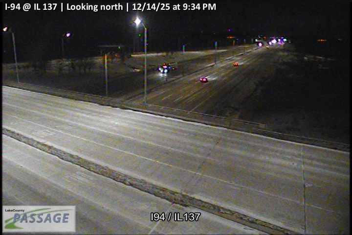 WorkingStill imageI-94 at IL 137, looking north
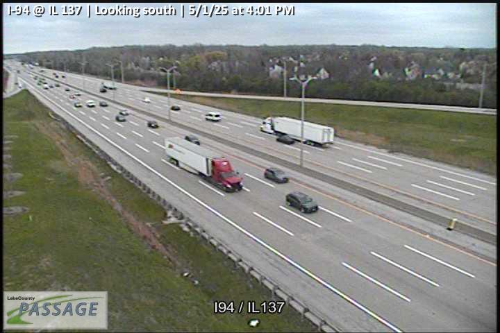 WorkingStill imageI-94 at IL 137, looking south
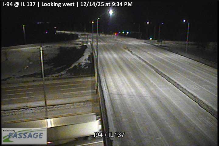 WorkingStill imageI-94 at IL 137, looking west
_@_16th_cctv_North_Leg.jpg) WorkingStill imageIL 137 (Sheridan) at 16th, looking north
WorkingStill imageIL 137 (Sheridan) at 16th, looking north_@_16th_cctv_South_Leg.jpg) WorkingStill imageIL 137 (Sheridan) at 16th, looking south
WorkingStill imageIL 137 (Sheridan) at 16th, looking south WorkingStill imageI-94 at Buckley Road, Lake County, looking west
No live video among these cameras. Turn off "Live video only" to see them all.
Best cams to watch
- I-94 at IL 60, looking east — Still image · every 10 min, working 100 % of the time in the last 30 days.
- IL 131 at IL 176, looking east — Still image · every 10 min.
- IL 131 at IL 176, looking north — Still image · every 10 min.
Lake Forest is a wealthy suburban city in Lake County, Illinois, on the bluffs above Lake Michigan about 31 miles north of downtown Chicago. The 2020 census counted about 19,400 residents. The town was laid out in 1857 together with Lake Forest College and incorporated in 1861, and its curving, wooded streets were designed to follow the ravines that cut down to the lake. Large estates from the early twentieth century line many of those roads. The heart of town is Market Square, completed in 1916 and often cited as one of the first planned shopping centers in the country, next to the Metra station on the Union Pacific North line. A second station serves the Milwaukee District North line on the west side.
North Shore highways
Lake Forest's list is made up of IDOT cameras that the state shares through Gateway, its regional travel data hub. Lake Forest is crossed by Interstate 94, the Tri-State Tollway, on its west side, by U.S. Route 41, the Skokie Highway, and by Illinois Route 43, while Illinois Route 60 heads west toward the inland suburbs. On our map each camera is linked to the nearest place, so this page gathers state highway views from Lake Forest and the surrounding stretch of the North Shore. The images are still frames updated every few minutes, good for checking commuter traffic and winter road conditions.
The city keeps Central Time, setting clocks an hour ahead each spring and back again in the fall. Lake Michigan shapes the weather: lake-effect snow can whiten the ground on winter mornings, and onshore breezes keep summer afternoons cooler than inland. Long June evenings over the bluffs last past half past eight, but by December the lakefront is dark before half past four. Weekday mornings and late afternoons bring the heaviest flow on Route 41 and the tollway, and summer weekends add traffic heading north toward Wisconsin.
Neighboring Lake Bluff lies just to the north, and Highland Park with the Ravinia Festival grounds is a few miles south along the lake.
Sources: Lake Forest, Illinois - Wikipedia · Illinois DOT Getting Around Illinois · Travel Midwest (Gateway).
Nearby places
- Waukegan (620)
- Wheaton (617)
- North Peoria (554)
- Peoria (553)
- Naperville (475)
- Gurnee (386)
- Palatine (354)
- Grayslake (346)
Questions about Lake Forest
How many webcams can I watch in Lake Forest?
LiveLocation lists 140 cameras in and around Lake Forest, United States: 0 live video, 140 still images. 140 of them were live or showing a fresh image at the last check.
Where do the Lake Forest cameras come from?
All of them come from Illinois DOT (140). Each camera plays straight from the agency or owner that runs it, with credit. Illinois DOT
What kinds of views are there in Lake Forest?
All of them show traffic and highway (140). Good ones to start with: I-94 at IL 60, looking east and IL 131 at IL 176, looking east. I-94 at IL 60, looking east IL 131 at IL 176, looking east
Is there live video from Lake Forest?
Not yet: the cameras here send still images that refresh about every 10 minutes. The map can show only live-video cameras nearby. Live video on the map
When is the best time to watch the Lake Forest cameras?
Lake Forest is on America/Chicago time. On October 7 the sun rises at 6:55 AM and sets at 6:22 PM, so still images are clearest between those times. Road cameras show the most traffic in the weekday morning and evening rush hours.
Are there live cameras near Lake Forest?
The nearest are North Chicago (4.6 mi away, 252 cameras), Highland Park (5.7 mi away, 118 cameras) and Libertyville (6.0 mi away, 302 cameras). North Chicago Highland Park Libertyville
Is there a map of the cameras in Lake Forest?
The map at the top of this page shows all 140 of them. The live camera radar centers on Lake Forest and lists every camera within 5 to 250 miles, nearest first, with filters for live video, traffic, nature and more. Open the radar on Lake Forest
Place names and locations: GeoNames, licensed under CC BY 4.0.